Transport Functions
Multimodal
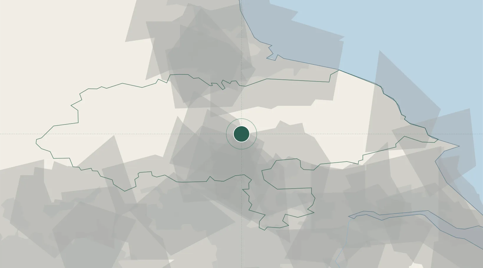
Hub Profile
Place type
Populated place
Region
England
Population
518
Time zone
Europe/London
Elevation
22 m
Location
Nearby Logistics Neighbours
Cities
- 1Easingwold13 km
- 2Flaxby19 km
- 3Crowle21 km
- 4Farlington21 km
- 5Ealand22 km
Ports
- 1Teesport54 km
- 2Whitby58 km
- 3Hartlepool59 km
- 4Howdendyke59 km
- 5Scarborough63 km
Airports
- 1RAF Topcliffe3 km
- 2RAF Leeming18 km
- 3Teesside International Airport37 km
- 4Leeds East Airport40 km
- 5Leeds Bradford Airport41 km
Trade Zones
DatabookThe Record of Consolidated Knowledge
United Kingdom beyond logistics?