Transport Functions
Rail
Road
Hub Profile
Place type
Populated place
Region
England
Time zone
Europe/London
Elevation
48 m
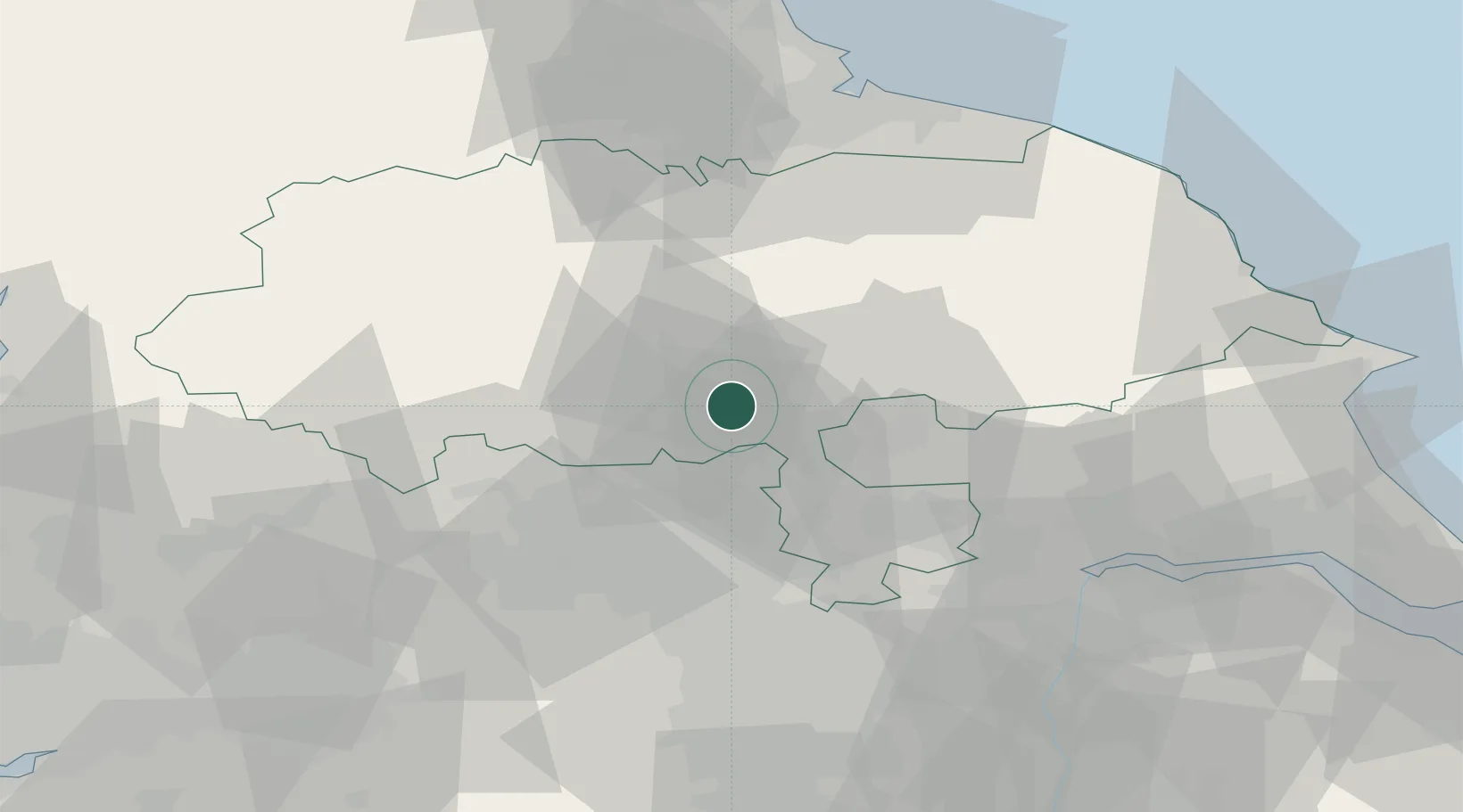
Location
Nearby Logistics Neighbours
Cities
- 1Crowle2 km
- 2Ealand5 km
- 3Bilton11 km
- 4Hessay14 km
- 5Upper Poppleton17 km
Ports
- 1Howdendyke46 km
- 2Goole51 km
- 3Scarborough72 km
- 4Teesport73 km
- 5Whitby73 km
Airports
- 1RAF Topcliffe21 km
- 2Leeds Bradford Airport24 km
- 3Leeds East Airport24 km
- 4RAF Leeming33 km
- 5Teesside International Airport55 km
Trade Zones
DatabookThe Record of Consolidated Knowledge
United Kingdom beyond logistics?