Transport Functions
Rail
Road
Hub Profile
Place type
Populated place
Region
England
Time zone
Europe/London
Elevation
70 m
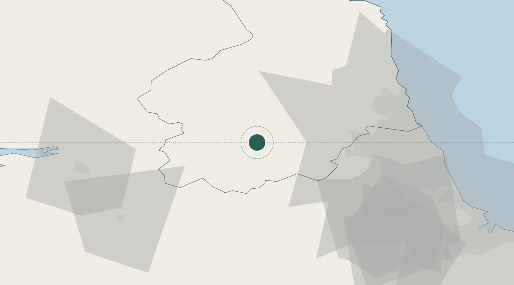
Location
Nearby Logistics Neighbours
Cities
- 1Corbridge10 km
- 2Howden le Wear17 km
- 3Ryton27 km
- 4Garrigill29 km
- 5Westgate30 km
Ports
- 1Blyth44 km
- 2Tynemouth49 km
- 3Sunderland52 km
- 4Warkworth Harbour52 km
- 5Seaham57 km
Airports
- 1RAF Spadeadam25 km
- 2Newcastle International Airport31 km
- 3Carlisle Lake District Airport42 km
- 4Teesside International Airport72 km
- 5RAF Leeming88 km
Trade Zones
DatabookThe Record of Consolidated Knowledge
United Kingdom beyond logistics?