Transport Functions
Multimodal
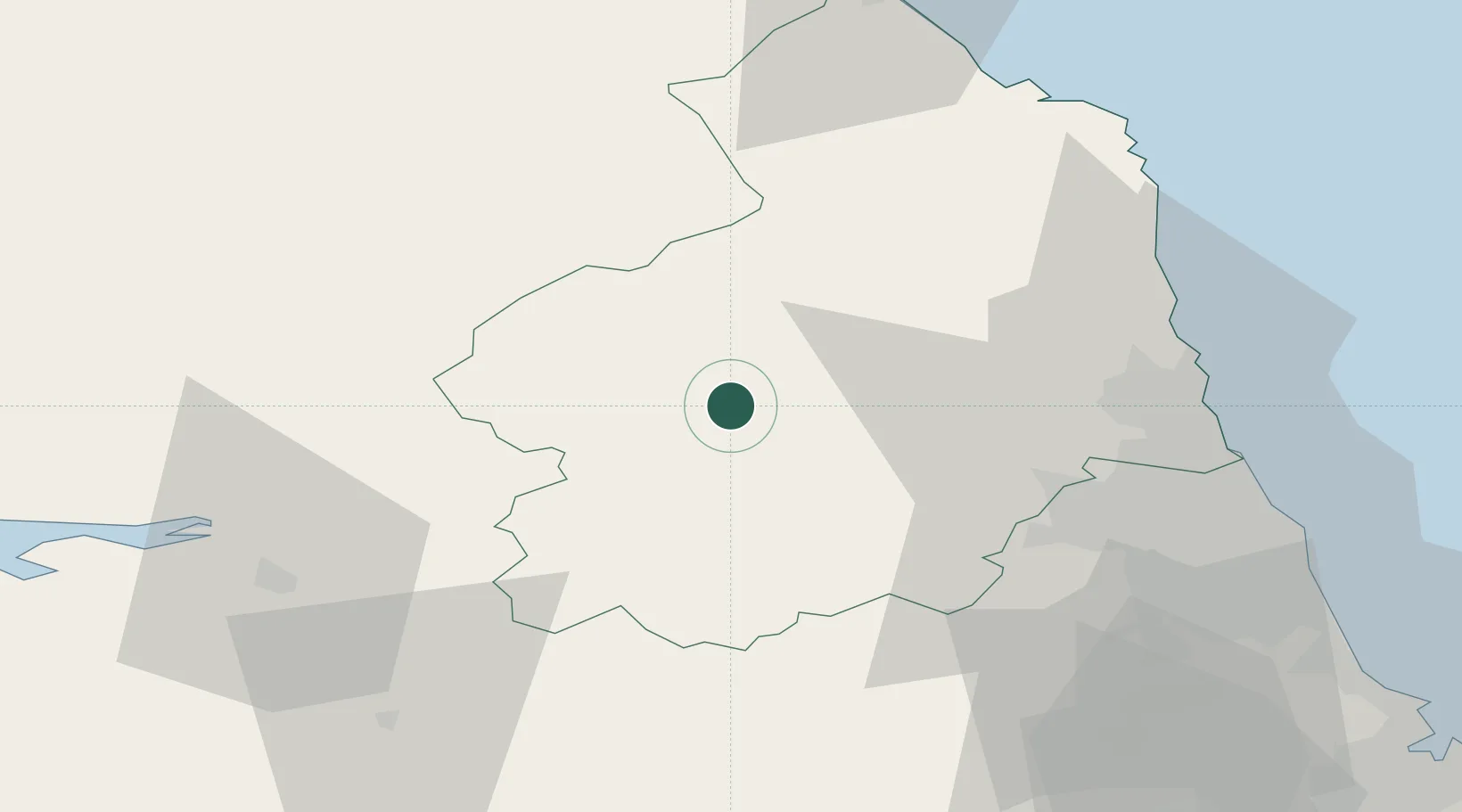
Hub Profile
Place type
Populated place
Region
England
Time zone
Europe/London
Elevation
121 m
Location
Nearby Logistics Neighbours
Cities
- 1Fourstones17 km
- 2Corbridge25 km
- 3Fishburn33 km
- 4Ryton37 km
- 5Dunston43 km
Ports
- 1Warkworth Harbour46 km
- 2Blyth47 km
- 3Tynemouth56 km
- 4Sunderland61 km
- 5Seaham68 km
Airports
- 1RAF Spadeadam23 km
- 2Newcastle International Airport37 km
- 3Carlisle Lake District Airport44 km
- 4Teesside International Airport88 km
- 5RAF Leeming105 km
Trade Zones
DatabookThe Record of Consolidated Knowledge
United Kingdom beyond logistics?