Medium airport · Canada

Ottawa / Gatineau AirportCYND
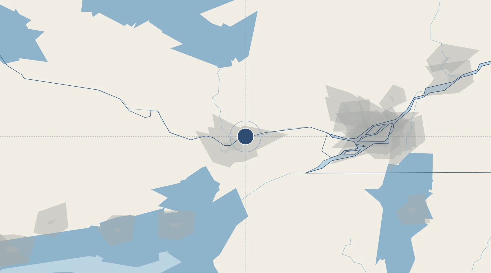
45.5217°, -75.5636°
6,000 ft
Longest runway
1
Runways
211 ft
Elevation

Runway & Layout

Ottawa / Gatineau Airport runway & taxiway layout
Runway & taxiway layout — OpenStreetMap (ODbL) / OurAirports

Radio Frequencies

DEP
128.175 MHz
Ottawa Departures
ARR
128.175 MHz
Ottawa Arrivals
ATF
122.3 MHz
Gatineau Traffic
MF
122.3 MHz
Gatineau Radio, 0630-2115 local
RCO
123.375 MHz
Quebec Radio
TML
127.7 MHz
Ottawa Terminal
OurAirports

Runways · 1

RunwayDimensions SurfaceTrue headingLit
09/27 6,000 × 150ft Asphalt 075°
OurAirports

Airport Specifications

IATA code
YND
OurAirports
ICAO code
CYND
OurAirports
Airport class
Medium airport
OurAirports
Scheduled service
Yes
OurAirports
Runway surface
Asphalt
OurAirports
Served city
Gatineau
OurAirports

Location

Location of CYND
Natural Earth 10m (public domain) · Québec · CYND · 45.52, -75.56GoogleOSMYandex

Nearby Logistics Neighbours

Airports
  1. 1Ottawa / Rockcliffe Airport9 km
  2. 2Ottawa Macdonald-Cartier International Airport24 km
  3. 3Ottawa / Carp Airport42 km
  4. 4Smiths Falls-Montague (Russ Beach) Airport71 km
  5. 5Massena International Airport Richards Field86 km
Nearest neighbours — logibook spatial index (haversine) over the source coordinates
Cities
  1. 1Orléans8 km
  2. 2Masson11 km
  3. 3Gatineau12 km
  4. 4Sarsfield19 km
  5. 5Wakefield32 km
Nearest neighbours — logibook spatial index (haversine) over the source coordinates
Ports
  1. 1Gatineau8 km
  2. 2Masson12 km
  3. 3Cumberland13 km
  4. 4Hull15 km
  5. 5Ottawa15 km
Nearest neighbours — logibook spatial index (haversine) over the source coordinates
Trade Zones
  1. 1FTZ No. 118 Ogdensburg90 km
  2. 2Greater Montreal Free Zone Center156 km
  3. 3FTZ No. 109 Watertown173 km
  4. 4FTZ No. 090 Onondaga243 km
  5. 5FTZ No. 172 Oneida County257 km
Nearest neighbours — logibook spatial index (haversine) over the source coordinates
DatabookThe Record of Consolidated Knowledge
Canada beyond logistics?
Browse databook

All Sources

AirportsOurAirports
Public domain
Portsthe NGA World Port Index
Public domain (US gov)
LocationsUN/LOCODE
UN/LOCODE — free
Trade Zonesthe World Bank SEZ database
CC BY 4.0
Trade ZonesOpen Zone Map
CC BY
InfrastructureOpenStreetMap
ODbL 1.0
← Canada airports