Transport Functions
Rail
Road
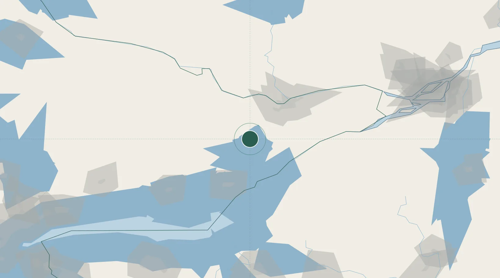
Hub Profile
Place type
Populated place
Region
Ontario
Population
5,573
Time zone
America/Toronto
Elevation
134 m
Location
Nearby Logistics Neighbours
Cities
- 1Westport27 km
- 2Almonte35 km
- 3Burritts Rapids38 km
- 4Rockport39 km
- 5Richmond45 km
Ports
- 1Brockville58 km
- 2Rockport63 km
- 3Ogdensburg63 km
- 4Gananoque63 km
- 5Lower Lakes Terminal65 km
Airports
Trade Zones
- 1FTZ No. 118 Ogdensburg62 km
- 2FTZ No. 109 Watertown105 km
- 3FTZ No. 090 Onondaga163 km
- 4FTZ No. 172 Oneida County186 km
- 5Greater Montreal Free Zone Center221 km
DatabookThe Record of Consolidated Knowledge
Canada beyond logistics?