Medium airport · Canada

Powell River AirportCYPW

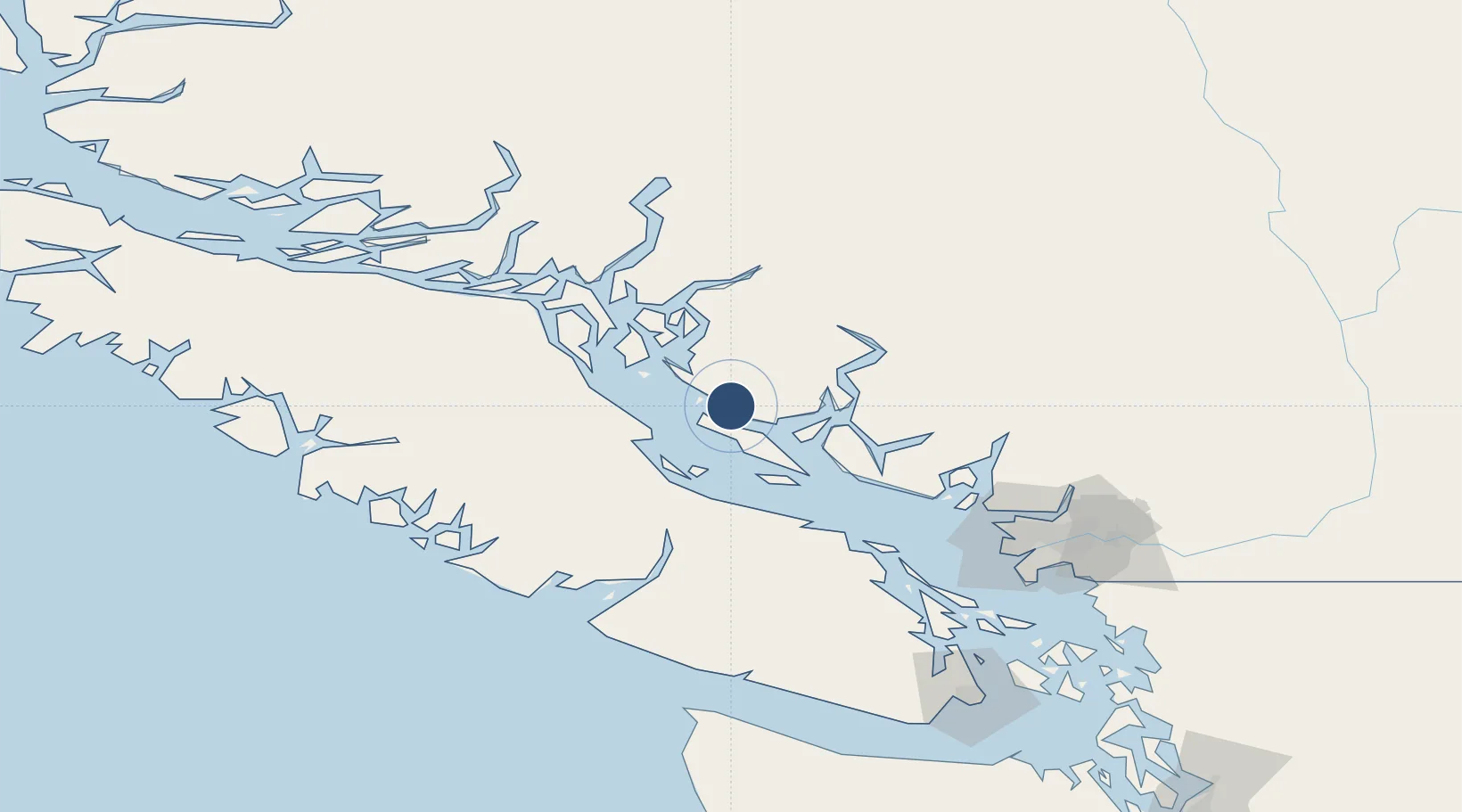
49.8342°, -124.5000°
3,627 ft
Longest runway
1
Runways
425 ft
Elevation

Runway & Layout

Powell River Airport runway & taxiway layout
Runway & taxiway layout — OpenStreetMap (ODbL) / OurAirports

Radio Frequencies

A/D
123.7 MHz
COMOX TERMINAL
A/G
123 MHz
MF
RDO
126.7 MHz
PACIFIC RDO
OurAirports

Navaids

9S DME Powell River Bc 109.30 MHz
YPW NDB Powell River 382 kHz
OurAirports

Runways · 1

RunwayDimensions SurfaceTrue headingLit
09/27 3,627 × 150ft Asphalt 119°
OurAirports

Airport Specifications

IATA code
YPW
OurAirports
ICAO code
CYPW
OurAirports
Airport class
Medium airport
OurAirports
Scheduled service
Yes
OurAirports
Runway surface
Asphalt
OurAirports
Served city
Powell River
OurAirports

Location

Location of CYPW
Natural Earth 10m (public domain) · British Columbia · CYPW · 49.83, -124.50GoogleOSMYandex

Nearby Logistics Neighbours

Airports
  1. 1Powell Lake Seaplane Base6 km
  2. 2Comox Valley International Airport / CFB Comox31 km
  3. 3Comox Seaplane Base36 km
  4. 4Qualicum Beach Airport56 km
  5. 5Campbell River Airport57 km
Nearest neighbours — logibook spatial index (haversine) over the source coordinates
Cities
  1. 1Denman Island38 km
  2. 2Campbell River57 km
  3. 3Lantzville72 km
  4. 4Nanaimo87 km
  5. 5Bowen Island99 km
Nearest neighbours — logibook spatial index (haversine) over the source coordinates
Ports
  1. 1Comox Harbor35 km
  2. 2Duncan Bay62 km
  3. 3Nanoose Harbor68 km
  4. 4Port Alberni71 km
  5. 5Port Mellon81 km
Nearest neighbours — logibook spatial index (haversine) over the source coordinates
Trade Zones
  1. 1FTZ Vancouver Island119 km
  2. 2FTZ No. 128 Whatcom County181 km
  3. 3FTZ No. 129 Bellingham187 km
  4. 4FTZ No. 085 Everett263 km
  5. 5FTZ No. 005 Seattle288 km
Nearest neighbours — logibook spatial index (haversine) over the source coordinates
DatabookThe Record of Consolidated Knowledge
Canada beyond logistics?
Browse databook

All Sources

AirportsOurAirports
Public domain
Portsthe NGA World Port Index
Public domain (US gov)
LocationsUN/LOCODE
UN/LOCODE — free
Trade Zonesthe World Bank SEZ database
CC BY 4.0
Trade ZonesOpen Zone Map
CC BY
InfrastructureOpenStreetMap
ODbL 1.0
← Canada airports