Medium airport · Canada

Campbell River AirportCYBL

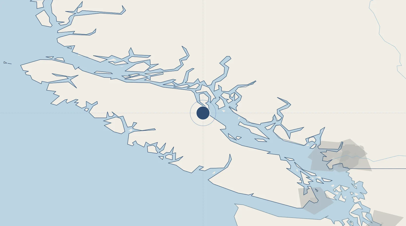
49.9508°, -125.2710°
6,499 ft
Longest runway
1
Runways
346 ft
Elevation

Runway & Layout

Campbell River Airport runway & taxiway layout
Runway & taxiway layout — OpenStreetMap (ODbL) / OurAirports

Radio Frequencies

ATIS
128.55 MHz
A/D
123.7 MHz
COMOX TRML ARR/DEP
A/G
122 MHz
MF CAMPBELL RDO
ATF
122 MHz
FSS
122 MHz
RDO
RCO
126.7 MHz
PACIFIC RDO
OurAirports

Navaids

IBL DME Campbell River 109.10 MHz
YBL NDB Campbell River 203 kHz
OurAirports

Runways · 1

RunwayDimensions SurfaceTrue headingLit
12/30 6,499 × 150ft Asphalt 137°
OurAirports

Airport Specifications

IATA code
YBL
OurAirports
ICAO code
CYBL
OurAirports
Airport class
Medium airport
OurAirports
Scheduled service
Yes
OurAirports
Runway surface
Asphalt
OurAirports
Served city
Campbell River
OurAirports

Location

Location of CYBL
Natural Earth 10m (public domain) · British Columbia · CYBL · 49.95, -125.27GoogleOSMYandex

Nearby Logistics Neighbours

Airports
  1. 1Campbell River (E & B Heli) Heliport10 km
  2. 2Campbell River Seaplane Base11 km
  3. 3Comox Valley International Airport / CFB Comox38 km
  4. 4Comox Seaplane Base40 km
  5. 5Big Bay Seaplane Base50 km
Nearest neighbours — logibook spatial index (haversine) over the source coordinates
Cities
  1. 1Campbell River8 km
  2. 2Denman Island56 km
  3. 3Sayward64 km
  4. 4Ucluelet115 km
  5. 5Lantzville116 km
Nearest neighbours — logibook spatial index (haversine) over the source coordinates
Ports
  1. 1Duncan Bay13 km
  2. 2Comox Harbor41 km
  3. 3Gold River68 km
  4. 4Port Alberni86 km
  5. 5Tahsis100 km
Nearest neighbours — logibook spatial index (haversine) over the source coordinates
Trade Zones
  1. 1FTZ Vancouver Island174 km
  2. 2FTZ No. 128 Whatcom County234 km
  3. 3FTZ No. 129 Bellingham239 km
  4. 4FTZ No. 085 Everett311 km
  5. 5FTZ No. 173 Grays Harbor317 km
Nearest neighbours — logibook spatial index (haversine) over the source coordinates
DatabookThe Record of Consolidated Knowledge
Canada beyond logistics?
Browse databook

All Sources

AirportsOurAirports
Public domain
Portsthe NGA World Port Index
Public domain (US gov)
LocationsUN/LOCODE
UN/LOCODE — free
Trade Zonesthe World Bank SEZ database
CC BY 4.0
Trade ZonesOpen Zone Map
CC BY
InfrastructureOpenStreetMap
ODbL 1.0
← Canada airports