Runway & Layout

Airport Specifications
IATA code
WPL
ICAO code
CAQ8
Airport class
Seaplane base
Scheduled service
Yes
Served city
Powell River
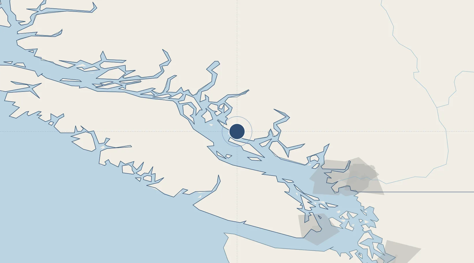
Location
Nearby Logistics Neighbours
Airports
Cities
- 1Denman Island42 km
- 2Campbell River53 km
- 3Lantzville78 km
- 4Nanaimo93 km
- 5Bowen Island104 km
Ports
- 1Comox Harbor37 km
- 2Duncan Bay57 km
- 3Nanoose Harbor74 km
- 4Port Alberni76 km
- 5Port Mellon86 km
Trade Zones
- 1FTZ Vancouver Island125 km
- 2FTZ No. 128 Whatcom County187 km
- 3FTZ No. 129 Bellingham192 km
- 4FTZ No. 085 Everett269 km
- 5FTZ No. 005 Seattle294 km
DatabookThe Record of Consolidated Knowledge
Canada beyond logistics?