Medium airport · Canada
Pickle Lake AirportCYPL
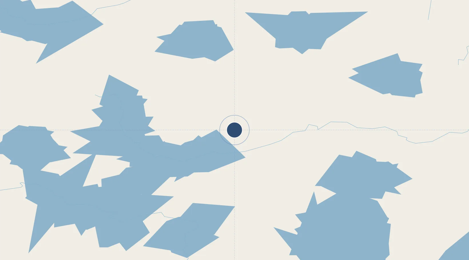
51.4464°, -90.2142°
4,921 ft
Longest runway
1
Runways
1,267 ft
Elevation
Runway & Layout

Radio Frequencies
RCO
122.2 MHz
WINNIPEG RDO
RDO
122.2 MHz
MF THUNDER BAY RDO
Navaids
PL DME Pickle Lake 113.70 MHz
YPL NDB Pickle Lake 382 kHz
Runways · 1
| Runway | Dimensions | Surface | True heading | Lit |
|---|---|---|---|---|
| 09/27 | 4,921 × 100ft | Asphalt | 090° | ✓ |
Airport Specifications
IATA code
YPL
ICAO code
CYPL
Airport class
Medium airport
Scheduled service
Yes
Runway surface
Asphalt
Served city
Pickle Lake
Location
Nearby Logistics Neighbours
Airports
- 1Slate Falls Airport107 km
- 2Cat Lake Airport116 km
- 3Armstrong Airport158 km
- 4Wunnumin Lake Airport173 km
- 5Kingfisher Lake Airport176 km
Cities
- 1Lansdowne182 km
- 2Red Lake253 km
- 3Wellington278 km
- 4Red Rock310 km
- 5Thunder Bay345 km
Ports
- 1Thunder Bay346 km
- 2Grand Marais411 km
- 3Heron Bay417 km
- 4Houghton496 km
- 5Two Harbors503 km
Trade Zones
- 1FTZ No. 259 Koochiching County459 km
- 2Winnipegs Centreport Canada517 km
- 3FTZ No. 051 Duluth541 km
- 4FTZ No. 103 Grand Forks636 km
- 5FTZ No. 016 Sault Ste. Marie695 km
DatabookThe Record of Consolidated Knowledge
Canada beyond logistics?