Small airport · Canada
Cat Lake AirportCYAC
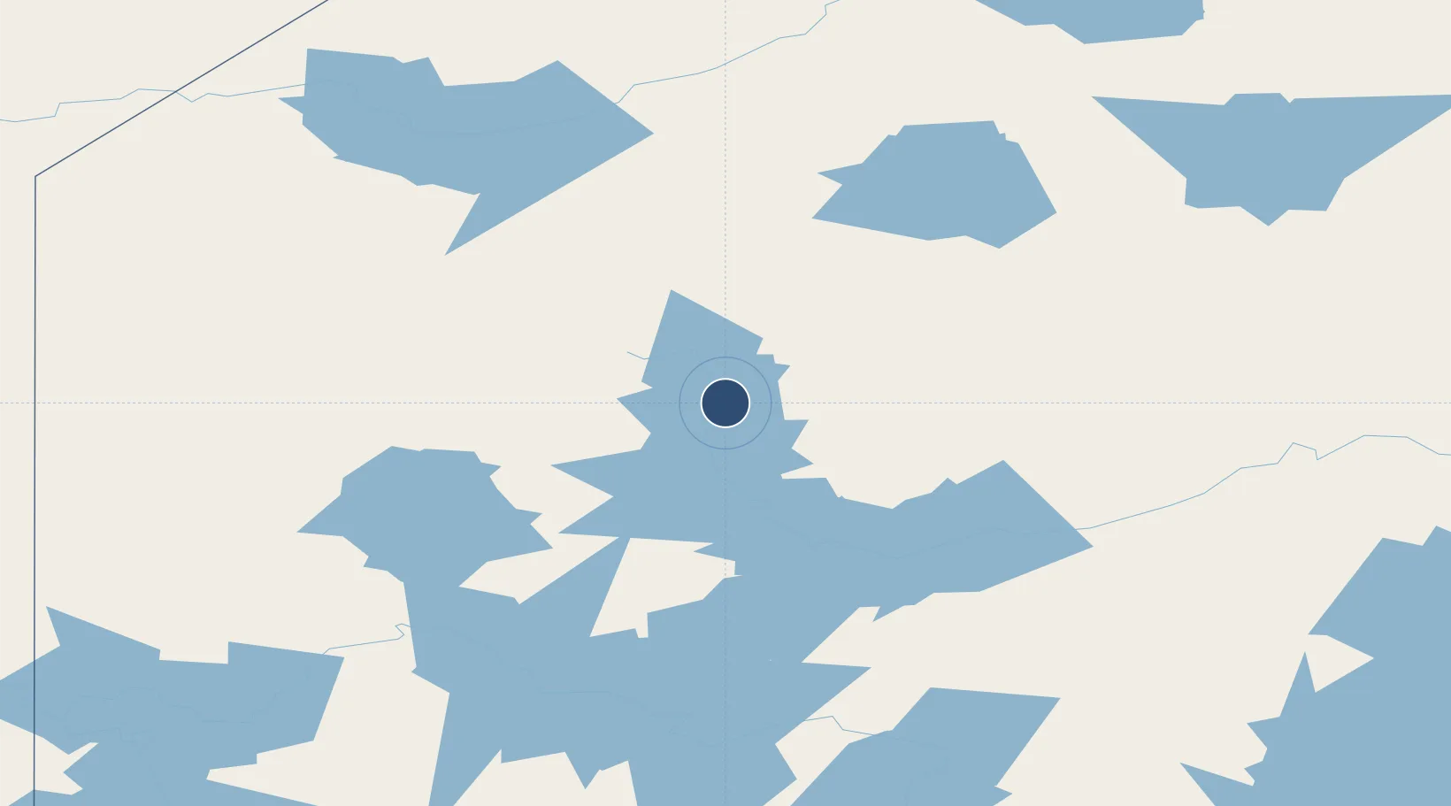
51.7272°, -91.8244°
3,900 ft
Longest runway
1
Runways
1,344 ft
Elevation
Runway & Layout

Runways · 1
| Runway | Dimensions | Surface | True heading | Lit |
|---|---|---|---|---|
| 11/29 | 3,900 × 100ft | GRVL | — | — |
Airport Specifications
IATA code
YAC
ICAO code
CYAC
Airport class
Small airport
Scheduled service
Yes
Runway surface
GRVL
Served city
Cat Lake
Location
Nearby Logistics Neighbours
Airports
- 1Slate Falls Airport67 km
- 2North Spirit Lake Airport115 km
- 3Pickle Lake Airport116 km
- 4Round Lake (Weagamow Lake) Airport140 km
- 5Pikangikum Airport148 km
Cities
- 1Red Lake156 km
- 2Lansdowne275 km
- 3Island Lake305 km
- 4Fort Frances365 km
- 5Hadashville367 km
Ports
- 1Thunder Bay414 km
- 2Grand Marais455 km
- 3Heron Bay520 km
- 4Two Harbors524 km
- 5Duluth552 km
Trade Zones
- 1FTZ No. 259 Koochiching County423 km
- 2Winnipegs Centreport Canada425 km
- 3FTZ No. 051 Duluth553 km
- 4FTZ No. 103 Grand Forks572 km
- 5FTZ No. 267 Fargo658 km
DatabookThe Record of Consolidated Knowledge
Canada beyond logistics?