Small airport · Canada
Wunnumin Lake AirportCKL3
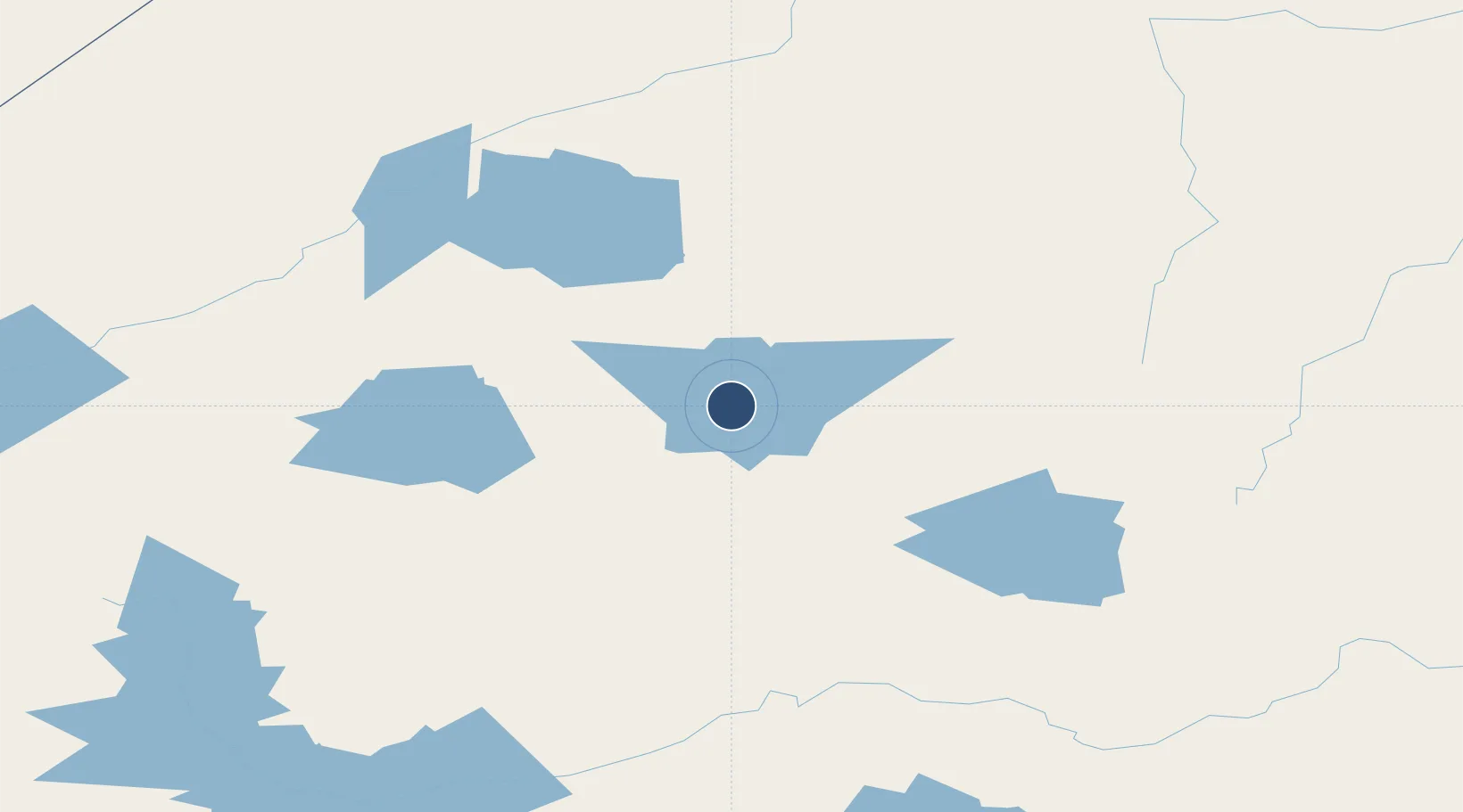
52.8939°, -89.2892°
3,500 ft
Longest runway
1
Runways
819 ft
Elevation
Runway & Layout

Runways · 1
| Runway | Dimensions | Surface | True heading | Lit |
|---|---|---|---|---|
| 16/34 | 3,500 × 100ft | GRVL | — | — |
Airport Specifications
IATA code
WNN
ICAO code
CKL3
Airport class
Small airport
Scheduled service
Yes
Runway surface
GRVL
Served city
Wunnumin Lake
Location
Nearby Logistics Neighbours
Airports
- 1Kingfisher Lake Airport40 km
- 2Summer Beaver Airport54 km
- 3Kasabonika Airport82 km
- 4Wapekeka Airport108 km
- 5Big Trout Lake Airport110 km
Cities
- 1Lansdowne121 km
- 2Red Lake370 km
- 3Island Lake373 km
- 4Wellington390 km
- 5Red Rock444 km
Ports
- 1Thunder Bay500 km
- 2Heron Bay516 km
- 3Grand Marais577 km
- 4Michipicoten630 km
- 5Houghton645 km
Trade Zones
- 1FTZ No. 259 Koochiching County624 km
- 2Winnipegs Centreport Canada638 km
- 3FTZ No. 051 Duluth714 km
- 4FTZ No. 103 Grand Forks786 km
- 5FTZ No. 016 Sault Ste. Marie794 km
DatabookThe Record of Consolidated Knowledge
Canada beyond logistics?