Small airport · Canada
Kingfisher Lake AirportCNM5
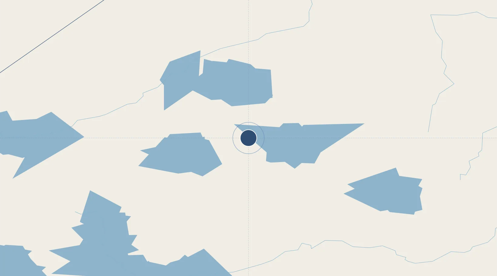
53.0125°, -89.8553°
3,520 ft
Longest runway
1
Runways
866 ft
Elevation
Runway & Layout

Runways · 1
| Runway | Dimensions | Surface | True heading | Lit |
|---|---|---|---|---|
| 12/30 | 3,520 × 100ft | GRVL/CLAY | — | — |
Airport Specifications
IATA code
KIF
ICAO code
CNM5
Airport class
Small airport
Scheduled service
Yes
Runway surface
GRVL/CLAY
Served city
Kingfisher Lake
Location
Nearby Logistics Neighbours
Airports
- 1Wunnumin Lake Airport40 km
- 2Big Trout Lake Airport90 km
- 3Summer Beaver Airport94 km
- 4Wapekeka Airport95 km
- 5Round Lake (Weagamow Lake) Airport98 km
Cities
- 1Lansdowne160 km
- 2Island Lake333 km
- 3Red Lake346 km
- 4Wellington415 km
- 5Red Rock465 km
Ports
- 1Thunder Bay515 km
- 2Heron Bay545 km
- 3Grand Marais586 km
- 4Michipicoten661 km
- 5Houghton662 km
Trade Zones
- 1Winnipegs Centreport Canada612 km
- 2FTZ No. 259 Koochiching County613 km
- 3FTZ No. 051 Duluth716 km
- 4FTZ No. 103 Grand Forks767 km
- 5FTZ No. 016 Sault Ste. Marie824 km
DatabookThe Record of Consolidated Knowledge
Canada beyond logistics?