Small airport · Canada
Slate Falls AirportCKD9
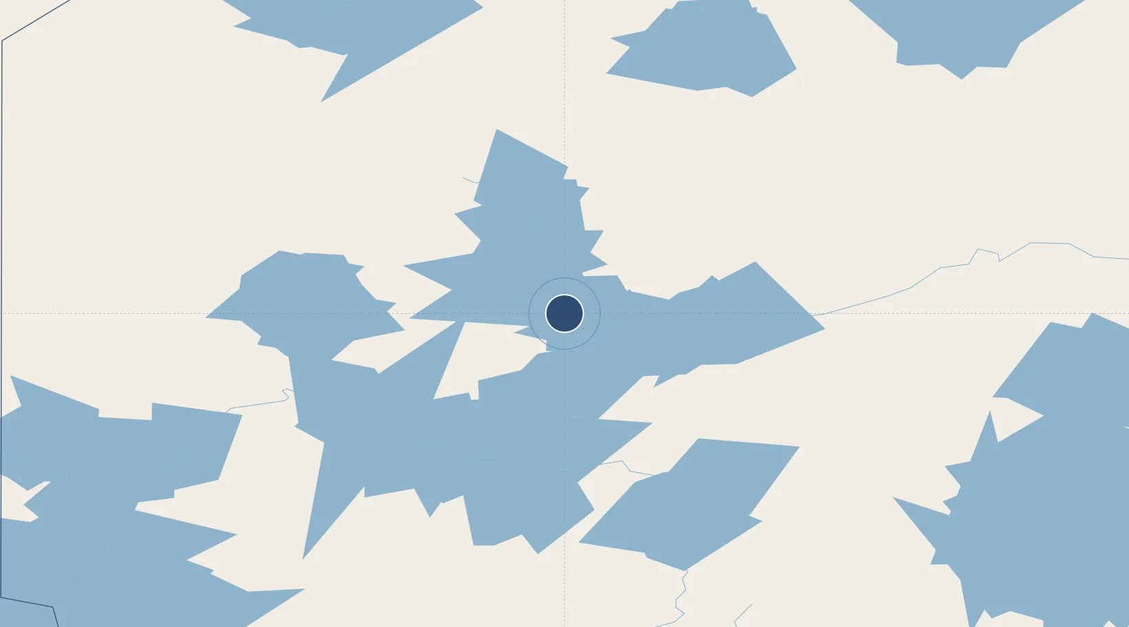
51.1300°, -91.6656°
3,500 ft
Longest runway
1
Runways
1,355 ft
Elevation
Runway & Layout

Runways · 1
| Runway | Dimensions | Surface | True heading | Lit |
|---|---|---|---|---|
| 10/28 | 3,500 × 100ft | GRVL | — | — |
Airport Specifications
ICAO code
CKD9
Airport class
Small airport
Scheduled service
Yes
Runway surface
GRVL
Served city
Slate Falls
Location
Nearby Logistics Neighbours
Airports
- 1Cat Lake Airport67 km
- 2Pickle Lake Airport107 km
- 3Sioux Lookout Airport114 km
- 4Red Lake Airport149 km
- 5Dryden Regional Airport163 km
Cities
- 1Red Lake149 km
- 2Lansdowne287 km
- 3Fort Frances308 km
- 4Emo320 km
- 5Wellington334 km
Ports
- 1Thunder Bay350 km
- 2Grand Marais388 km
- 3Two Harbors457 km
- 4Heron Bay472 km
- 5Bayfield485 km
Trade Zones
- 1FTZ No. 259 Koochiching County370 km
- 2Winnipegs Centreport Canada411 km
- 3FTZ No. 051 Duluth487 km
- 4FTZ No. 103 Grand Forks534 km
- 5FTZ No. 267 Fargo613 km
DatabookThe Record of Consolidated Knowledge
Canada beyond logistics?