UN/LOCODE hub · Canada
CARLA

Red Lake

51.0667°, -93.8000°
4,366
Population
3
Transport functions

Transport Functions

Road
Airport
Multimodal
UN/LOCODE

Hub Profile

Place type
Populated place
GeoNames
Region
Ontario
GeoNames
Population
4,366
GeoNames
Time zone
America/Winnipeg
GeoNames
Elevation
374 m
GeoNames

Location

Location of CARLA
Natural Earth 10m (public domain) · Ontario · CARLA · 51.07, -93.80GoogleOSMYandex

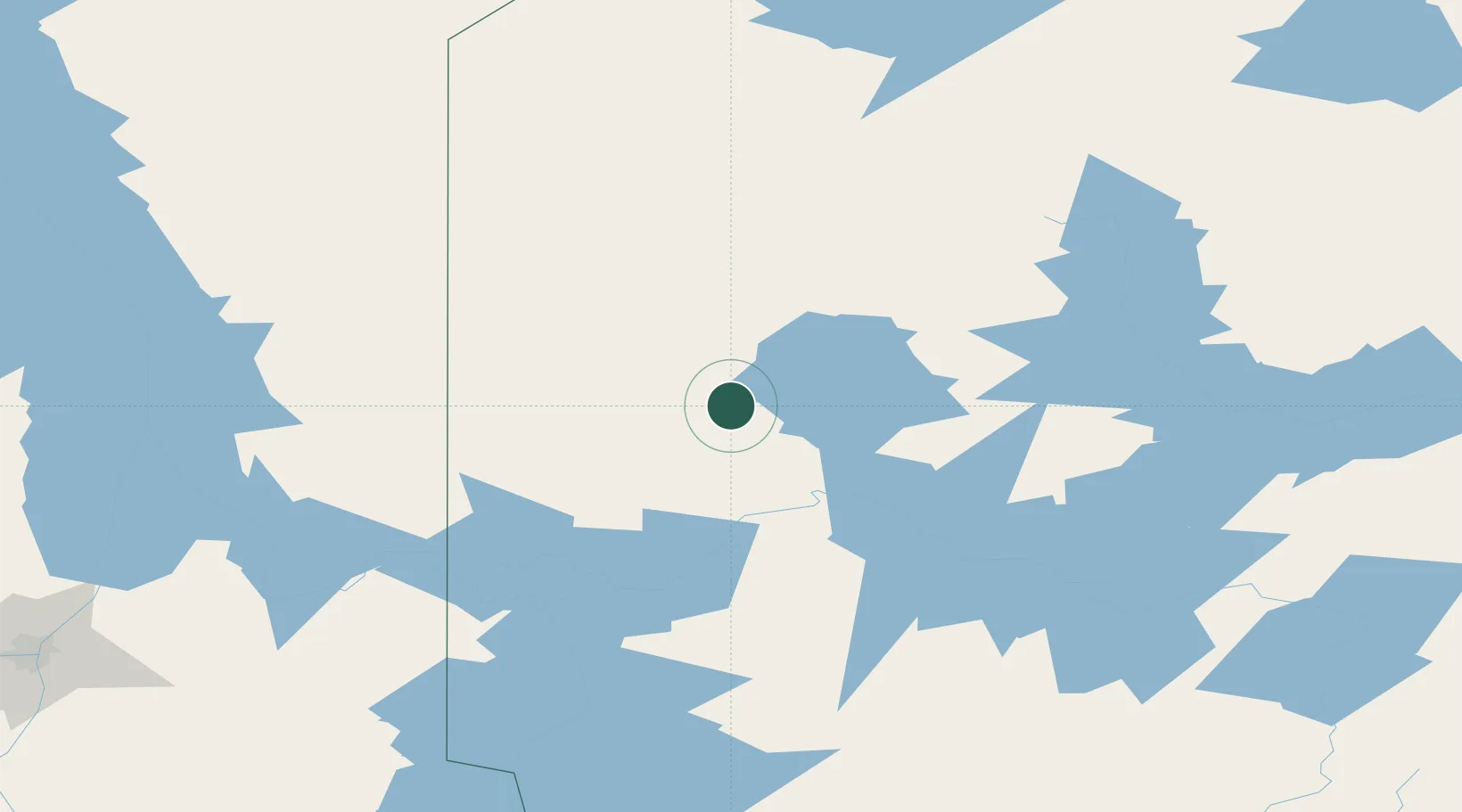
Nearby Logistics Neighbours

Cities
  1. 1Pine Falls179 km
  2. 2Hadashville215 km
  3. 3Beauséjour223 km
  4. 4Libau224 km
  5. 5Riverton224 km
Nearest neighbours — logibook spatial index (haversine) over the source coordinates
Ports
  1. 1Thunder Bay442 km
  2. 2Grand Marais446 km
  3. 3Two Harbors477 km
  4. 4Duluth494 km
  5. 5Superior498 km
Nearest neighbours — logibook spatial index (haversine) over the source coordinates
Airports
  1. 1Red Lake Airport1 km
  2. 2Pikangikum Airport85 km
  3. 3Poplar Hill Airport121 km
  4. 4Kenora Airport148 km
  5. 5Slate Falls Airport149 km
Nearest neighbours — logibook spatial index (haversine) over the source coordinates
Trade Zones
  1. 1Winnipegs Centreport Canada270 km
  2. 2FTZ No. 259 Koochiching County312 km
  3. 3FTZ No. 103 Grand Forks427 km
  4. 4FTZ No. 051 Duluth492 km
  5. 5FTZ No. 267 Fargo522 km
Nearest neighbours — logibook spatial index (haversine) over the source coordinates
DatabookThe Record of Consolidated Knowledge
Canada beyond logistics?
Browse databook

All Sources

LocationsUN/LOCODE
UN/LOCODE — free
LocationsGeoNames
CC BY 4.0
Portsthe NGA World Port Index
Public domain (US gov)
AirportsOurAirports
Public domain
Trade Zonesthe World Bank SEZ database
CC BY 4.0
Trade ZonesOpen Zone Map
CC BY
← Canada locations