Transport Functions
Port
Road
Hub Profile
Place type
Populated place
Region
Ontario
Time zone
America/Toronto
Elevation
89 m
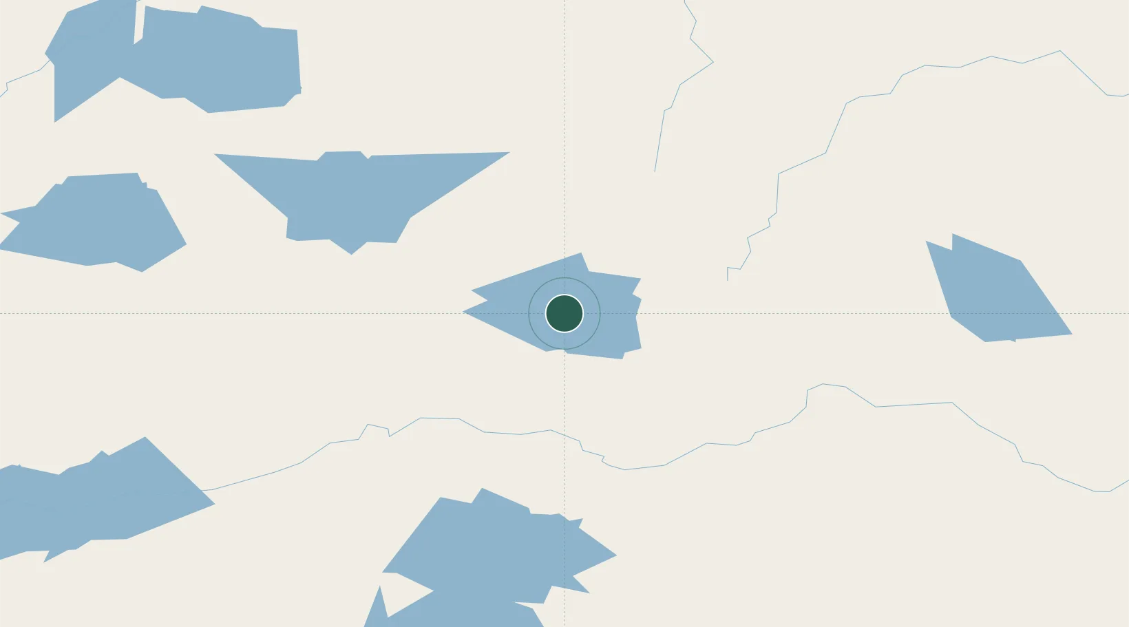
Location
Nearby Logistics Neighbours
Cities
- 1Wellington299 km
- 2Red Rock364 km
- 3Rossport377 km
- 4Red Lake428 km
- 5Thunder Bay434 km
Ports
- 1Heron Bay412 km
- 2Thunder Bay435 km
- 3Michipicoten518 km
- 4Grand Marais527 km
- 5Houghton569 km
Airports
- 1Lansdowne House Airport4 km
- 2Summer Beaver Airport71 km
- 3Fort Hope Airport73 km
- 4Webequie Airport89 km
- 5Wunnumin Lake Airport121 km
Trade Zones
- 1FTZ No. 259 Koochiching County633 km
- 2FTZ No. 051 Duluth683 km
- 3FTZ No. 016 Sault Ste. Marie685 km
- 4Winnipegs Centreport Canada696 km
- 5FTZ No. 103 Grand Forks817 km
DatabookThe Record of Consolidated Knowledge
Canada beyond logistics?