Transport Functions
Rail
Road
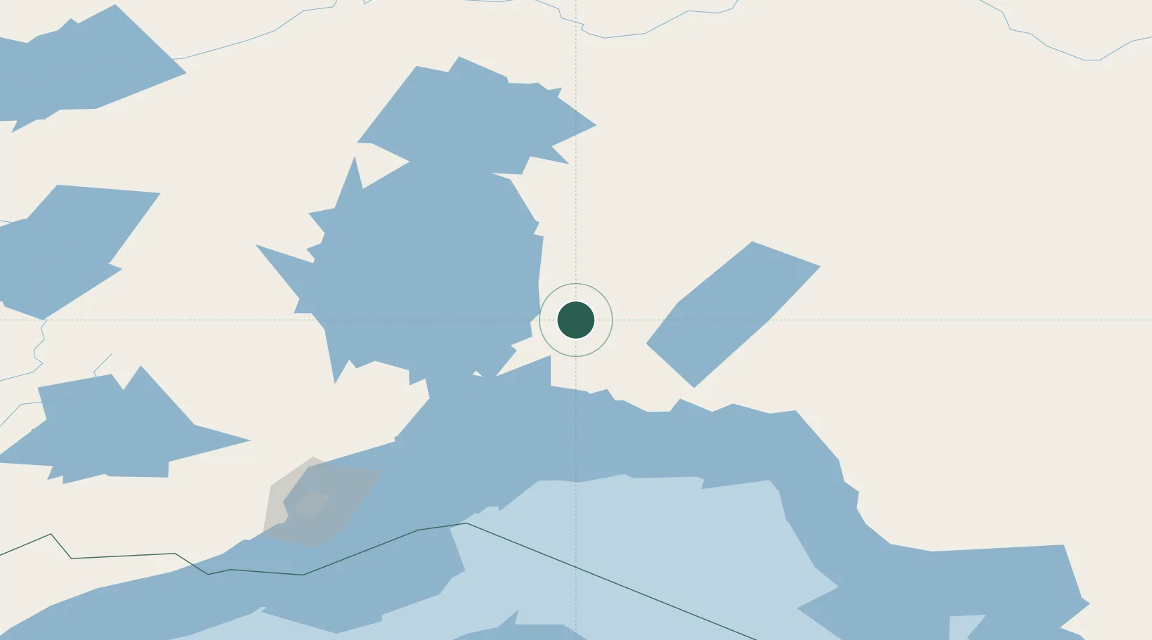
Hub Profile
Place type
Populated place
Region
Michigan
Time zone
America/Menominee
Elevation
472 m
Location
Nearby Logistics Neighbours
Cities
- 1Red Rock78 km
- 2Rossport79 km
- 3Thunder Bay168 km
- 4Fort William169 km
- 5Lake Linden267 km
Ports
- 1Heron Bay140 km
- 2Thunder Bay169 km
- 3Michipicoten268 km
- 4Houghton277 km
- 5Grand Marais278 km
Airports
- 1Geraldton Greenstone Regional Airport60 km
- 2Nakina Airport101 km
- 3Armstrong Airport122 km
- 4Marathon Airport130 km
- 5Manitouwadge Airport141 km
Trade Zones
- 1FTZ No. 016 Sault Ste. Marie417 km
- 2FTZ No. 051 Duluth458 km
- 3FTZ No. 167 Brown County566 km
- 4FTZ No. 119 Minneapolis-St. Paul658 km
- 5FTZ No. 019 Omaha697 km
DatabookThe Record of Consolidated Knowledge
United States beyond logistics?