Medium airport · Canada
Whitehorse / Erik Nielsen International AirportCYXY
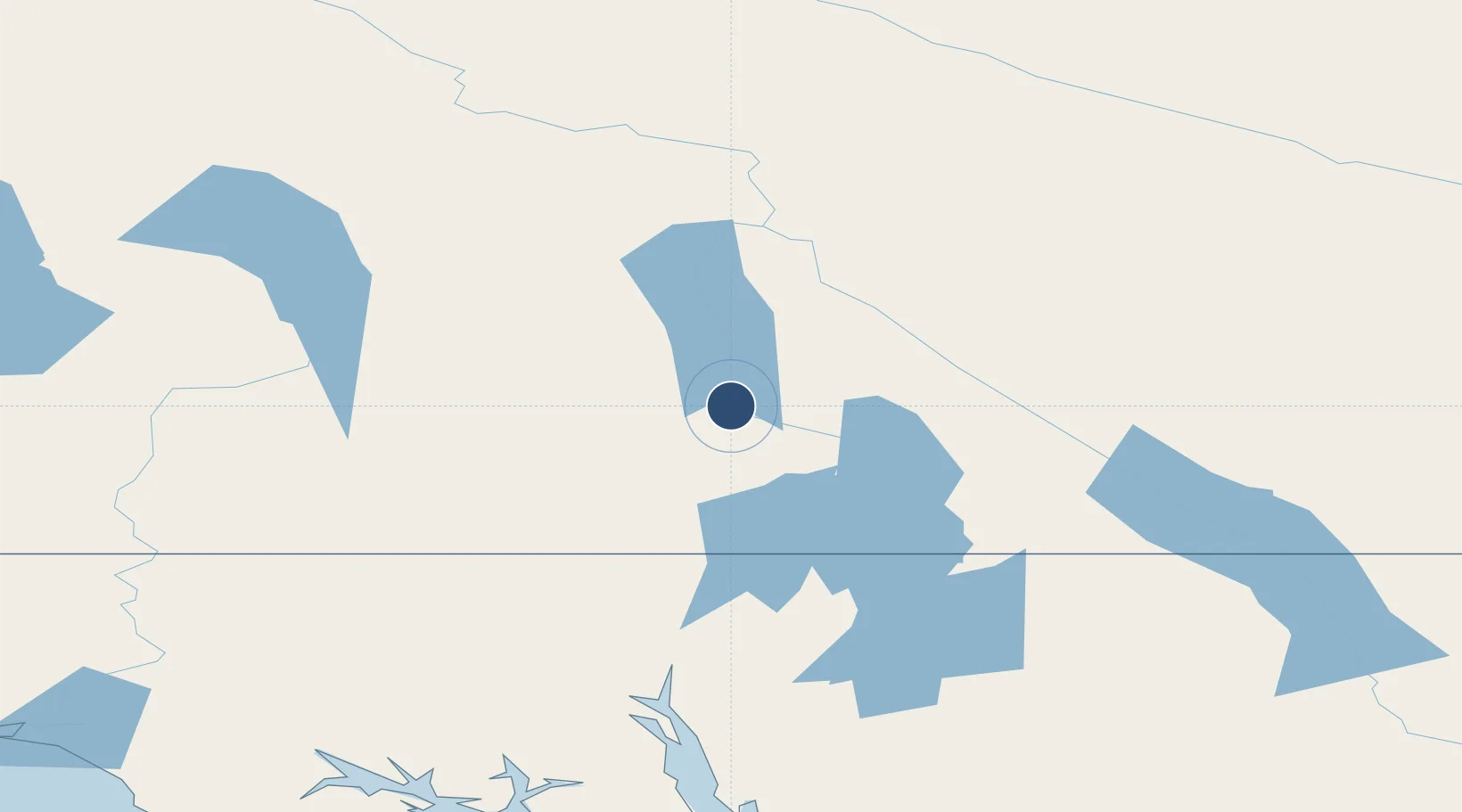
60.7085°, -135.0657°
9,497 ft
Longest runway
3
Runways
2,317 ft
Elevation
Runway & Layout

Radio Frequencies
ATIS
125.25 MHz
Automatic Terminal Information System
TWR
118.3 MHz
Whitehorse Tower, (E), 15-05Z
TWR
236.6 MHz
Whitehorse Tower, (E), 15-05Z
GND
121.9 MHz
Whitehorse Ground, 15-05Z
MF
118.3 MHz
Whitehorse Radio, 05-15Z, 5nm below 5400ASL
PAL
132.1 MHz
Edmonton Control
RCO
123.275 MHz
Whitehorse Radio (FISE), (E)
VDF
118.3 MHz
VHF Direction Findinf
Navaids
JB NDB Laberge 236 kHz
PJ NDB Robinson 329 kHz
XY NDB Whitehorse 302 kHz
YXY VOR-DME Whitehorse 116.60 MHz
ZXY NDB Klondike 353 kHz
Runways · 3
| Runway | Dimensions | Surface | True heading | Lit |
|---|---|---|---|---|
| 14R/32L | 9,497 × 150ft | Asphalt | 158° | ✓ |
| 14L/32R | 6,597 × 100ft | Asphalt | 159° | — |
| 02/20 | 1,798 × 75ft | Asphalt | 034° | — |
Airport Specifications
IATA code
YXY
ICAO code
CYXY
Airport class
Medium airport
Scheduled service
Yes
Runway surface
Asphalt
Served city
Whitehorse
Location
Nearby Logistics Neighbours
Airports
- 1Haines Junction Airport135 km
- 2Skagway Airport140 km
- 3Teslin Airport141 km
- 4Atlin Airport148 km
- 5Haines Airport165 km
Cities
- 1Pleasant Island264 km
- 2Juneau268 km
- 3Tyee408 km
- 4Orca579 km
- 5Cordova582 km
Ports
- 1Skagway141 km
- 2Haines165 km
- 3Excursion Inlet256 km
- 4Juneau270 km
- 5Funter274 km
Trade Zones
- 1FTZ No. 108 Valdez611 km
- 2FTZ No. 195 Fairbanks789 km
- 3FTZ No. 160 Anchorage800 km
- 4PrInce George Logistics Park1054 km
- 5FTZ Vancouver Island1480 km
DatabookThe Record of Consolidated Knowledge
Canada beyond logistics?