Small airport · United States
Skagway AirportPAGY
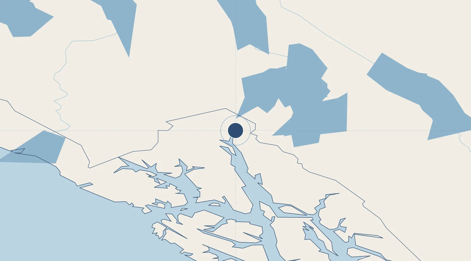
59.4603°, -135.3167°
3,550 ft
Longest runway
1
Runways
44 ft
Elevation
Runway & Layout

Runways · 1
| Runway | Dimensions | Surface | True heading | Lit |
|---|---|---|---|---|
| 02/20 | 3,550 × 75ft | ASPH-G | 044° | — |
Airport Specifications
IATA code
SGY
ICAO code
PAGY
Airport class
Small airport
Scheduled service
Yes
Runway surface
ASPH-G
Served city
Skagway
Location
Nearby Logistics Neighbours
Airports
- 1Haines Airport27 km
- 2Atlin Airport94 km
- 3Excursion Inlet Seaplane Base116 km
- 4Gustavus Airport117 km
- 5Point Retreat CG Light Station Helipad119 km
Cities
- 1Pleasant Island125 km
- 2Juneau137 km
- 3Tyee272 km
- 4Neets Bay465 km
- 5Ward Cove500 km
Ports
- 1Skagway2 km
- 2Haines26 km
- 3Excursion Inlet116 km
- 4Funter137 km
- 5Juneau139 km
Trade Zones
- 1FTZ No. 108 Valdez635 km
- 2FTZ No. 160 Anchorage824 km
- 3FTZ No. 195 Fairbanks877 km
- 4PrInce George Logistics Park982 km
- 5FTZ Vancouver Island1379 km
DatabookThe Record of Consolidated Knowledge
United States beyond logistics?