Runway & Layout

Airport Specifications
IATA code
DDR
ICAO code
ZUDR
Airport class
Medium airport
Scheduled service
Yes
Served city
Xigazê (Dingri)
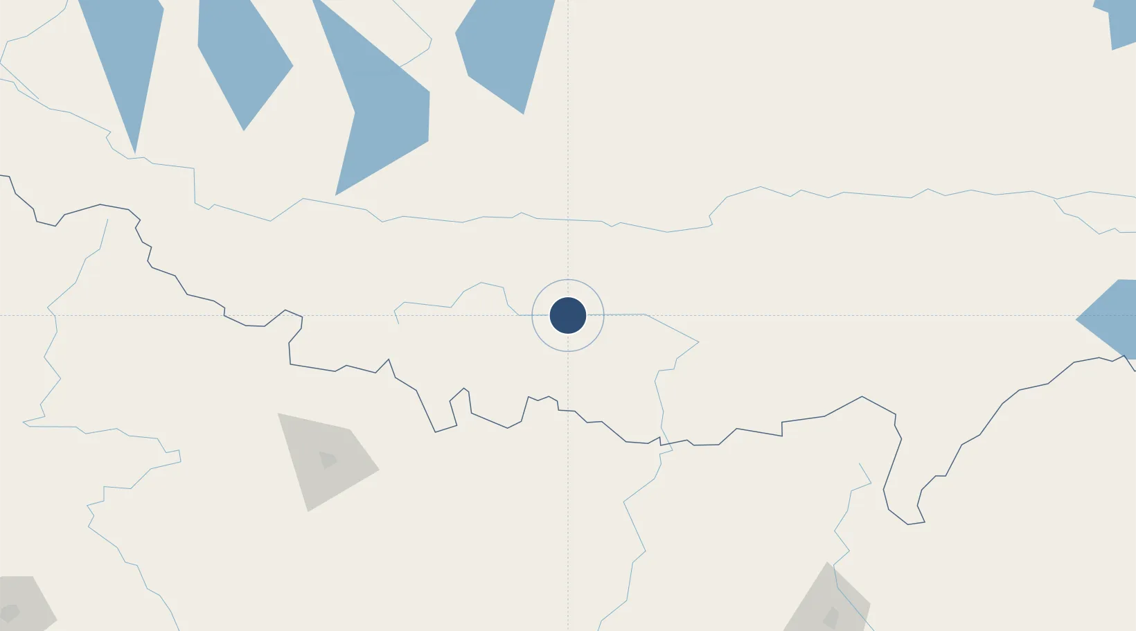
Location
Nearby Logistics Neighbours
Airports
- 1Lukla Airport102 km
- 2Tumling Tar Airport149 km
- 3Taplejung Airport165 km
- 4Tribhuvan International Airport174 km
- 5Janakpur Airport228 km
Cities
- 1Sherathang Lcs225 km
- 2Sikkim229 km
- 3Laukaha Lcs231 km
- 4Biratnagar241 km
- 5Pratapganj257 km
Ports
- 1Calcutta691 km
- 2Mongla738 km
- 3Haldia Port744 km
- 4Chittagong862 km
- 5Dhamra866 km
Trade Zones
DatabookThe Record of Consolidated Knowledge
China beyond logistics?