Transport Functions
Port
Road
Hub Profile
Region
AN
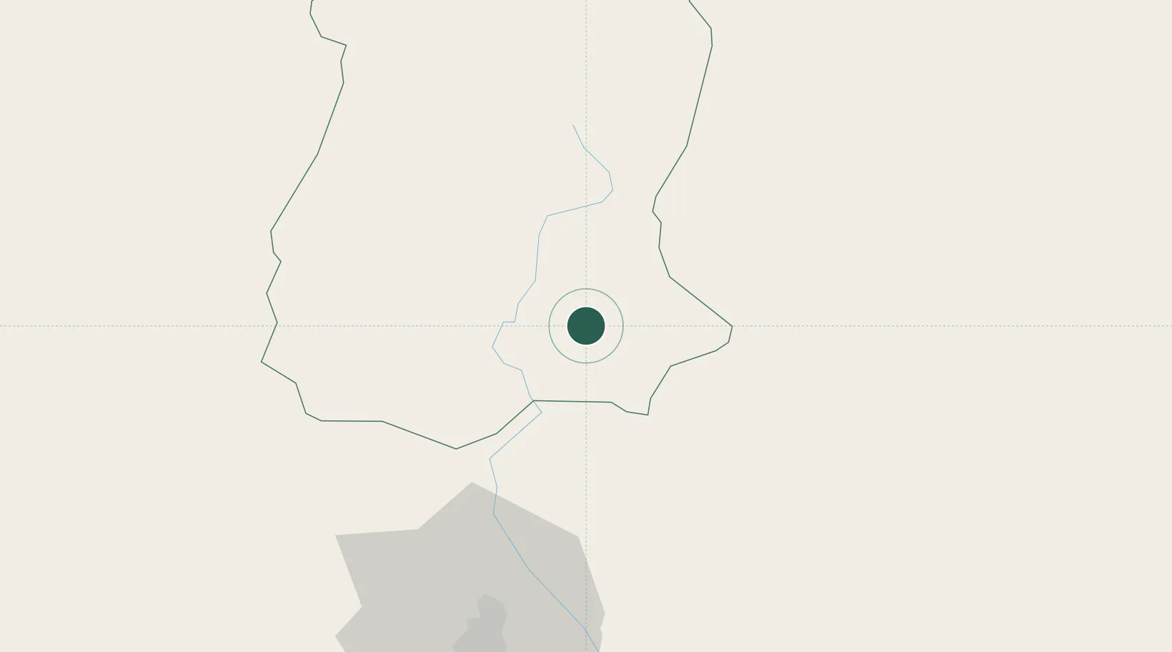
Location
Nearby Logistics Neighbours
Cities
- 1Sherathang Lcs4 km
- 2Chuchungsa50 km
- 3Nagarkata Lcs55 km
- 4Kulkuli Lcs69 km
- 5Siliguri70 km
Ports
- 1Calcutta531 km
- 2Mongla548 km
- 3Haldia Port592 km
- 4Chittagong643 km
- 5Dhamra742 km
Airports
- 1Bagdogra Airport76 km
- 2Paro International Airport80 km
- 3Taplejung Airport91 km
- 4Bhadrapur Airport99 km
- 5Hashimara Air Force Station101 km
Trade Zones
- 1Dhamdum Industrial Park64 km
- 2Panchagarh Economic Zone133 km
- 3Debiganj Economic Zone: Sujon134 km
- 4Jhapa Special Economic Zone134 km
- 5Siraha Special Economic Zone143 km
DatabookThe Record of Consolidated Knowledge
India beyond logistics?