Medium airport · Nepal

Taplejung AirportVNTJ
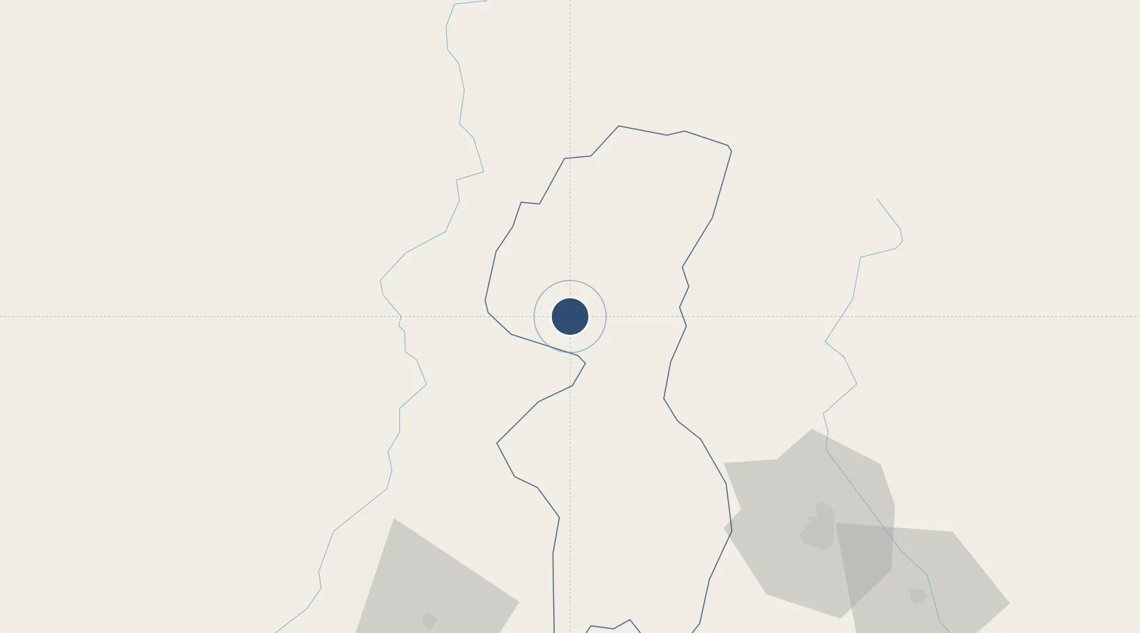
27.3509°, 87.6953°
2,313 ft
Longest runway
1
Runways
7,990 ft
Elevation

Runway & Layout

Taplejung Airport runway & taxiway layout
Runway & taxiway layout — OpenStreetMap (ODbL) / OurAirports

Runways · 1

RunwayDimensions SurfaceTrue headingLit
07/25 2,313 × —ft
OurAirports

Airport Specifications

IATA code
TPJ
OurAirports
ICAO code
VNTJ
OurAirports
Airport class
Medium airport
OurAirports
Scheduled service
Yes
OurAirports
Served city
Taplejung
OurAirports

Location

Location of VNTJ
Natural Earth 10m (public domain) · Mechi · VNTJ · 27.35, 87.70GoogleOSMYandex

Nearby Logistics Neighbours

Airports
  1. 1Tumling Tar Airport50 km
  2. 2Bhadrapur Airport95 km
  3. 3Bagdogra Airport97 km
  4. 4Lukla Airport102 km
  5. 5Biratnagar Airport106 km
Nearest neighbours — logibook spatial index (haversine) over the source coordinates
Cities
  1. 1Sherathang Lcs89 km
  2. 2Sikkim91 km
  3. 3Siliguri100 km
  4. 4Kulkuli Lcs102 km
  5. 5Biratnagar105 km
Nearest neighbours — logibook spatial index (haversine) over the source coordinates
Ports
  1. 1Calcutta538 km
  2. 2Mongla576 km
  3. 3Haldia Port594 km
  4. 4Chittagong697 km
  5. 5Dhamra730 km
Nearest neighbours — logibook spatial index (haversine) over the source coordinates
Trade Zones
  1. 1Gorkha Special Economic Zone53 km
  2. 2Jhapa Special Economic Zone94 km
  3. 3Siraha Special Economic Zone97 km
  4. 4Biratnagar Special Economic Zone114 km
  5. 5Dhamdum Industrial Park145 km
Nearest neighbours — logibook spatial index (haversine) over the source coordinates
DatabookThe Record of Consolidated Knowledge
Nepal beyond logistics?
Browse databook

All Sources

AirportsOurAirports
Public domain
Portsthe NGA World Port Index
Public domain (US gov)
LocationsUN/LOCODE
UN/LOCODE — free
Trade Zonesthe World Bank SEZ database
CC BY 4.0
Trade ZonesOpen Zone Map
CC BY
InfrastructureOpenStreetMap
ODbL 1.0
← Nepal airports