Transport Functions
Multimodal
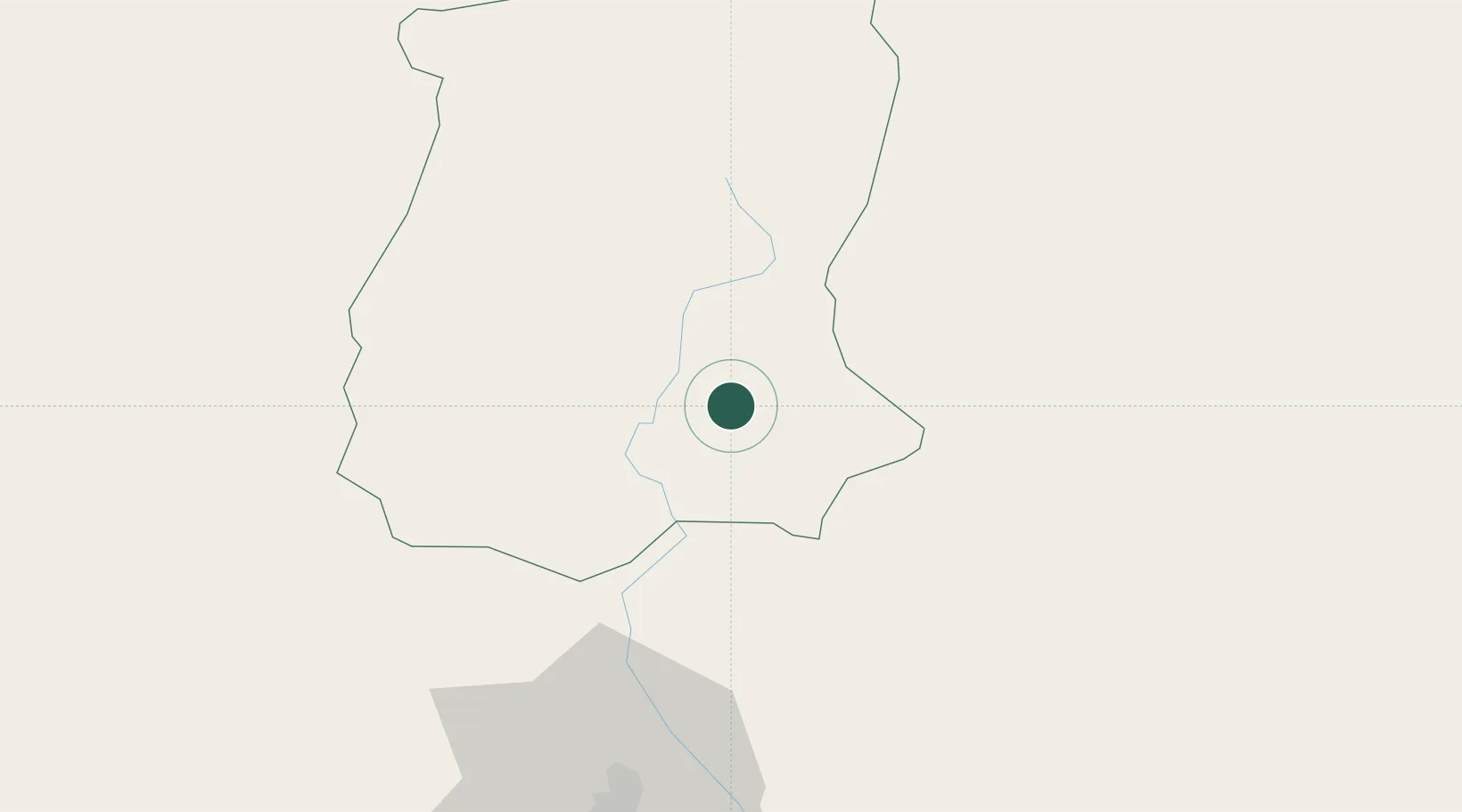
Hub Profile
Region
SK
Location
Nearby Logistics Neighbours
Cities
- 1Sikkim4 km
- 2Chuchungsa54 km
- 3Nagarkata Lcs59 km
- 4Kulkuli Lcs72 km
- 5Siliguri73 km
Ports
- 1Calcutta534 km
- 2Mongla552 km
- 3Haldia Port595 km
- 4Chittagong647 km
- 5Dhamra745 km
Airports
- 1Bagdogra Airport79 km
- 2Paro International Airport82 km
- 3Taplejung Airport89 km
- 4Bhadrapur Airport101 km
- 5Hashimara Air Force Station105 km
Trade Zones
- 1Dhamdum Industrial Park68 km
- 2Jhapa Special Economic Zone135 km
- 3Panchagarh Economic Zone137 km
- 4Debiganj Economic Zone: Sujon137 km
- 5Gorkha Special Economic Zone142 km
DatabookThe Record of Consolidated Knowledge
India beyond logistics?