Runway & Layout

Airport Specifications
Airport class
Seaplane base
Scheduled service
Yes
Served city
Sechelt
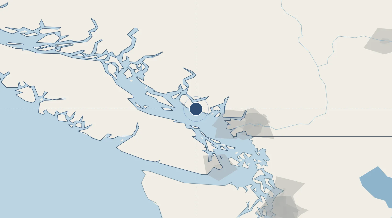
Location
Nearby Logistics Neighbours
Airports
- 1Poise Cove Waterdrome1 km
- 2Nanaimo Harbour Water Aerodrome37 km
- 3Silva Bay Seaplane Base37 km
- 4Nanaimo Harbour Heliport38 km
- 5Nanaimo Airport48 km
Cities
- 1Bowen Island33 km
- 2Lantzville35 km
- 3Nanaimo37 km
- 4Burrard Inlet46 km
- 5West Vancouver47 km
Ports
- 1Port Mellon20 km
- 2Nanoose Harbor37 km
- 3Harmac40 km
- 4Vancouver51 km
- 5Steveston57 km
Trade Zones
- 1FTZ Vancouver Island53 km
- 2FTZ No. 128 Whatcom County115 km
- 3FTZ No. 129 Bellingham121 km
- 4FTZ No. 085 Everett200 km
- 5FTZ No. 005 Seattle228 km
DatabookThe Record of Consolidated Knowledge
Canada beyond logistics?