Small airport · Australia

Hooker Creek AirportYHOO
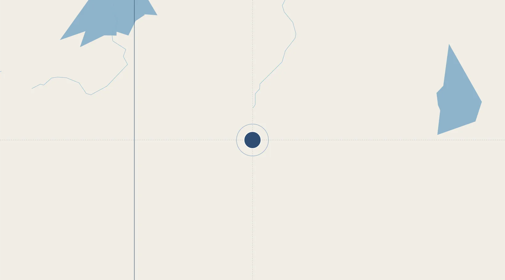
-18.3367°, 130.6380°
5,118 ft
Longest runway
1
Runways
320 ft
Elevation

Runway & Layout

Hooker Creek Airport runway & taxiway layout
Runway & taxiway layout — OpenStreetMap (ODbL) / OurAirports

Radio Frequencies

CTAF
126.7 MHz
MISC
134.2 MHz
OurAirports

Navaids

HOO NDB Hooker Creek 398 kHz
OurAirports

Runways · 1

RunwayDimensions SurfaceTrue headingLit
10/28 5,118 × —ft X
OurAirports

Airport Specifications

IATA code
HOK
OurAirports
ICAO code
YHOO
OurAirports
Airport class
Small airport
OurAirports
Scheduled service
Yes
OurAirports
Runway surface
X
OurAirports
Served city
Lajamanu
OurAirports

Location

Location of YHOO
Natural Earth 10m (public domain) · Northern Territory · YHOO · -18.34, 130.64GoogleOSMYandex

Nearby Logistics Neighbours

Airports
  1. 1Kalkgurung Airport102 km
  2. 2Nackeroo Airfield307 km
  3. 3Halls Creek Airport314 km
  4. 4East Kimberley Regional (Kununurra) Airport351 km
  5. 5Tennant Creek Airport400 km
Nearest neighbours — logibook spatial index (haversine) over the source coordinates
Cities
  1. 1Blacktip Terminal459 km
  2. 2Katherine464 km
  3. 3Darwin653 km
  4. 4Palmerston653 km
  5. 5Winnellie657 km
Nearest neighbours — logibook spatial index (haversine) over the source coordinates
Ports
  1. 1Wyndham418 km
  2. 2Darwin653 km
  3. 3Milner Bay792 km
  4. 4Broome889 km
  5. 5Gove942 km
Nearest neighbours — logibook spatial index (haversine) over the source coordinates
Trade Zones
  1. 1Oecusse Ambeno Enclave Special Zone For Social Market Economy (Zeesm)1212 km
  2. 2Atauro Special Economic Zone1249 km
  3. 3Western Province Special Economic Zone1632 km
  4. 4Bantaeng Industrial Park (BIP)1840 km
  5. 5KEK Mandalika1870 km
Nearest neighbours — logibook spatial index (haversine) over the source coordinates
DatabookThe Record of Consolidated Knowledge
Australia beyond logistics?
Browse databook

All Sources

AirportsOurAirports
Public domain
Portsthe NGA World Port Index
Public domain (US gov)
LocationsUN/LOCODE
UN/LOCODE — free
Trade Zonesthe World Bank SEZ database
CC BY 4.0
Trade ZonesOpen Zone Map
CC BY
InfrastructureOpenStreetMap
ODbL 1.0
← Australia airports