Small airport · United States

Stuart Island Airpark7WA5

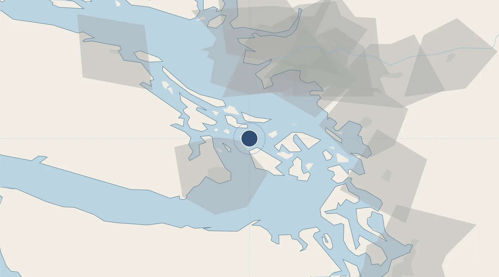
48.6734°, -123.1754°
2,000 ft
Longest runway
1
Runways
10 ft
Elevation

Runway & Layout

Stuart Island Airpark runway & taxiway layout
Runway & taxiway layout — OpenStreetMap (ODbL) / OurAirports

Runways · 1

RunwayDimensions SurfaceTrue headingLit
09/27 2,000 × 55ft Turf
OurAirports

Airport Specifications

IATA code
SSW
OurAirports
ICAO code
7WA5
OurAirports
Airport class
Small airport
OurAirports
Scheduled service
Yes
OurAirports
Runway surface
Turf
OurAirports
Served city
Friday Harbor
OurAirports

Location

Location of 7WA5
Natural Earth 10m (public domain) · Washington · 7WA5 · 48.67, -123.18GoogleOSMYandex

Nearby Logistics Neighbours

Airports
  1. 1Stuart Island West Airport4 km
  2. 2Roche Harbor Seaplane Base7 km
  3. 3Roche Harbor Airport7 km
  4. 4Bedwell Harbour Seaplane Base10 km
  5. 5Waldron Airstrip12 km
Nearest neighbours — logibook spatial index (haversine) over the source coordinates
Cities
  1. 1Mengkofen14 km
  2. 2Brentwood Bay23 km
  3. 3Victoria30 km
  4. 4Cobble Hill31 km
  5. 5Point Roberts35 km
Nearest neighbours — logibook spatial index (haversine) over the source coordinates
Ports
  1. 1Roche Harbor6 km
  2. 2Lyall Harbor14 km
  3. 3Sidney16 km
  4. 4Friday Harbor20 km
  5. 5Orcas20 km
Nearest neighbours — logibook spatial index (haversine) over the source coordinates
Trade Zones
  1. 1FTZ No. 129 Bellingham48 km
  2. 2FTZ No. 128 Whatcom County49 km
  3. 3FTZ Vancouver Island64 km
  4. 4FTZ No. 085 Everett103 km
  5. 5FTZ No. 005 Seattle129 km
Nearest neighbours — logibook spatial index (haversine) over the source coordinates
DatabookThe Record of Consolidated Knowledge
United States beyond logistics?
Browse databook

All Sources

AirportsOurAirports
Public domain
Portsthe NGA World Port Index
Public domain (US gov)
LocationsUN/LOCODE
UN/LOCODE — free
Trade Zonesthe World Bank SEZ database
CC BY 4.0
Trade ZonesOpen Zone Map
CC BY
InfrastructureOpenStreetMap
ODbL 1.0
← United States airports