Diversified Zone · China
Huludao Economic Development Zone Active
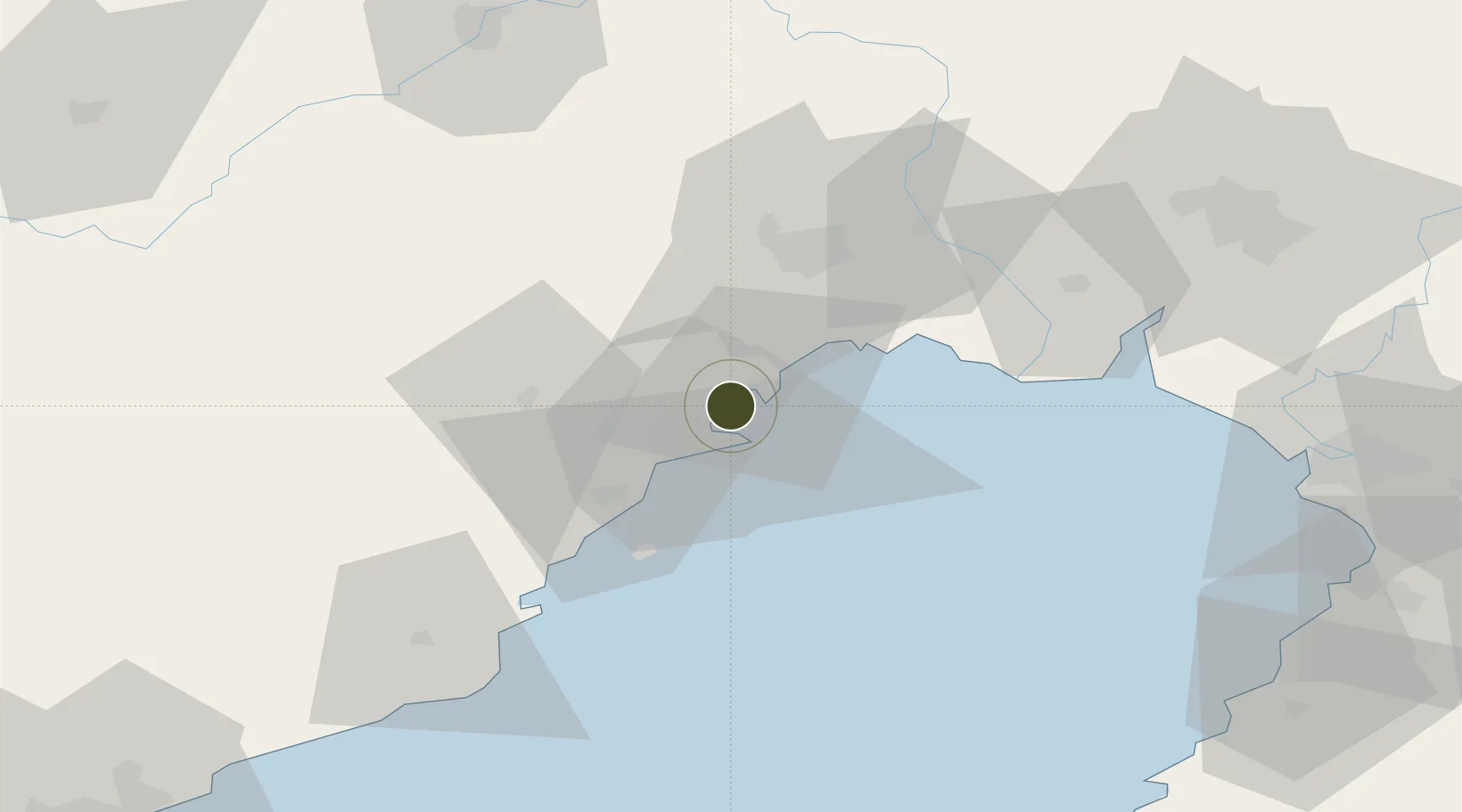
40.7924°, 120.9787°
1,241 ha
Zone area
10.3 km
Nearest port
29.7 km
Nearest airport
Gateway access
Zone profile
Zone type
Diversified Zone
Region
Liaoning
Status
Active
Management
Public
Operator
Management Committee of Huludao Economic Development Zone
Legal framework
It was established in April 2006
Location
Nearby Logistics Neighbours
Ports
- 1Huludao Gang10 km
- 2Jinzhou Wan11 km
- 3Yingkou106 km
- 4Bayuquan108 km
- 5Qinhuangdao150 km
Airports
- 1Jinzhou Bay Airport30 km
- 2Xingcheng Air Base33 km
- 3Huangdicun Naval Air Base42 km
- 4Suizhong Air Base76 km
- 5Chaoyang Airport95 km
Cities
- 1Jinzhou Pt11 km
- 2Jinxi13 km
- 3Panjin87 km
- 4Goubangzi91 km
- 5Dawa94 km
DatabookThe Record of Consolidated Knowledge
China beyond logistics?