UN/LOCODE hub · China
CNJNZ

Jinzhou Pt

40.8728°, 121.0453°
1
Transport functions

Transport Functions

Port
Jinzhou Pt is also a profiled seaport →
UN/LOCODE

Hub Profile

Region
LN
GeoNames
Logistics facilities
4
UN/LOCODE

Location

Location of CNJNZ
Natural Earth 10m (public domain) · LN · CNJNZ · 40.87, 121.05GoogleOSMYandex

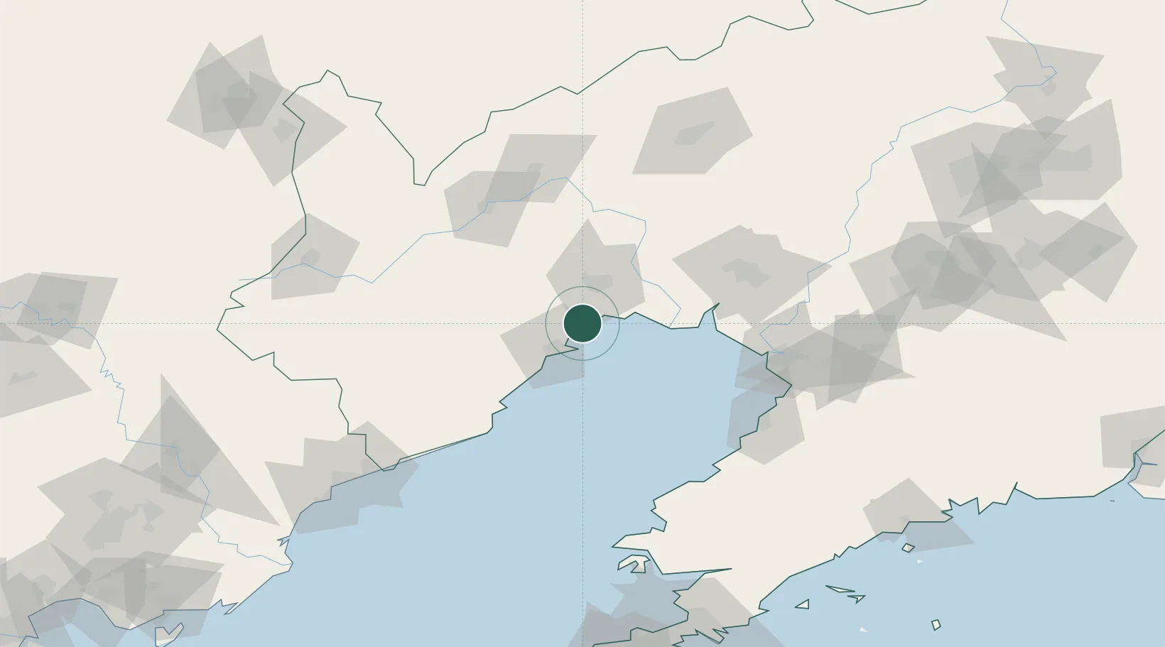
Nearby Logistics Neighbours

Cities
  1. 1Jinxi23 km
  2. 2Goubangzi80 km
  3. 3Panjin83 km
  4. 4Beizhen84 km
  5. 5Dawa87 km
Nearest neighbours — logibook spatial index (haversine) over the source coordinates
Ports
  1. 1Huludao Gang20 km
  2. 2Yingkou102 km
  3. 3Bayuquan108 km
  4. 4Qinhuangdao160 km
  5. 5Dalian224 km
Nearest neighbours — logibook spatial index (haversine) over the source coordinates
Airports
  1. 1Jinzhou Bay Airport21 km
  2. 2Xingcheng Air Base44 km
  3. 3Huangdicun Naval Air Base53 km
  4. 4Suizhong Air Base86 km
  5. 5Chaoyang Airport90 km
Nearest neighbours — logibook spatial index (haversine) over the source coordinates
DatabookThe Record of Consolidated Knowledge
China beyond logistics?
Browse databook

All Sources

LocationsUN/LOCODE
UN/LOCODE — free
Portsthe NGA World Port Index
Public domain (US gov)
AirportsOurAirports
Public domain
Trade Zonesthe World Bank SEZ database
CC BY 4.0
Trade ZonesOpen Zone Map
CC BY
← China locations