Transport Functions
Multimodal
Hub Profile
Place type
Populated place
Region
Jiangsu
Time zone
Asia/Shanghai
Elevation
4 m
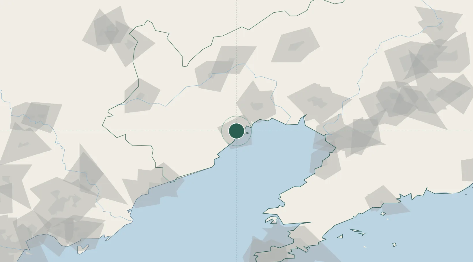
Location
Nearby Logistics Neighbours
Cities
- 1Jinzhou Pt23 km
- 2Panjin99 km
- 3Goubangzi103 km
- 4Beizhen106 km
- 5Dawa107 km
Ports
- 1Huludao Gang14 km
- 2Jinzhou Wan23 km
- 3Bayuquan117 km
- 4Yingkou118 km
- 5Qinhuangdao137 km
Airports
- 1Xingcheng Air Base22 km
- 2Huangdicun Naval Air Base32 km
- 3Jinzhou Bay Airport43 km
- 4Suizhong Air Base64 km
- 5Chaoyang Airport94 km
DatabookThe Record of Consolidated Knowledge
China beyond logistics?