Medium airport · China
Chaoyang AirportZYCY
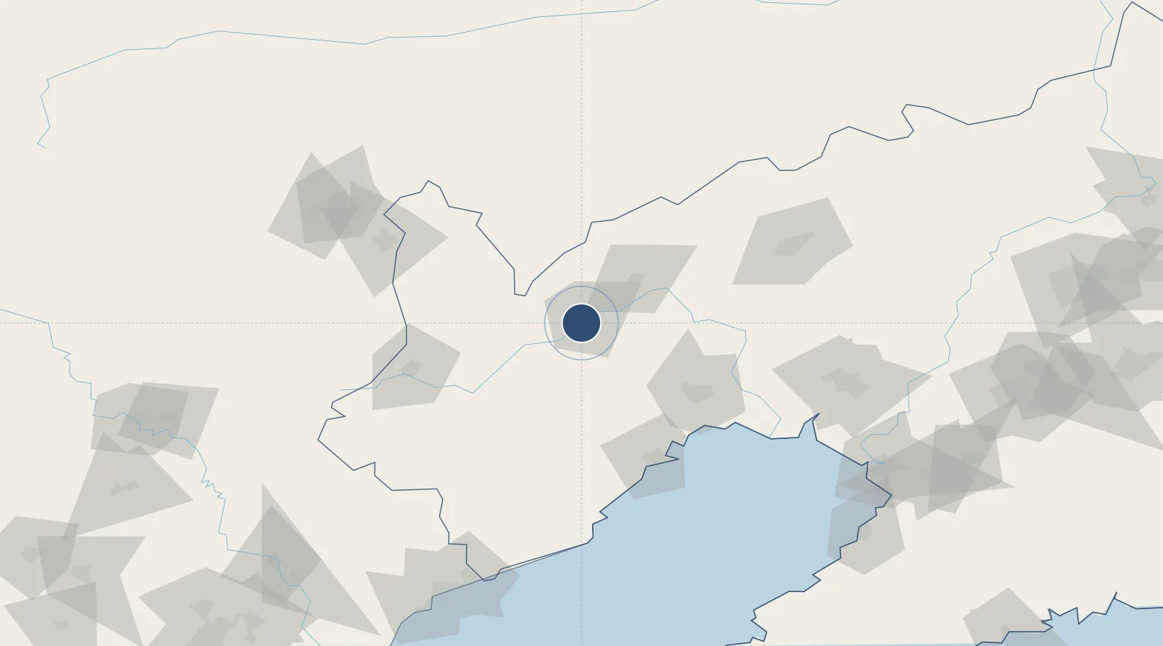
41.5381°, 120.4350°
6,562 ft
Longest runway
1
Runways
568 ft
Elevation
Runway & Layout

Navaids
CHG VOR-DME Chaoyang 114.50 MHz
FJ NDB Chaoyang 226 kHz
Runways · 1
| Runway | Dimensions | Surface | True heading | Lit |
|---|---|---|---|---|
| 18/36 | 6,562 × —ft | — | — | — |
Airport Specifications
IATA code
CHG
ICAO code
ZYCY
Airport class
Medium airport
Scheduled service
Yes
Served city
Shuangta, Chaoyang
Location
Nearby Logistics Neighbours
Airports
- 1Jinzhou Bay Airport97 km
- 2Xingcheng Air Base109 km
- 3Huangdicun Naval Air Base117 km
- 4Fuxin Air Base118 km
- 5Suizhong Air Base138 km
Cities
- 1Jinzhou Pt90 km
- 2Jinxi94 km
- 3Beizhen107 km
- 4Goubangzi113 km
- 5Heishan139 km
Ports
- 1Jinzhou Wan104 km
- 2Huludao Gang104 km
- 3Yingkou178 km
- 4Qinhuangdao191 km
- 5Bayuquan195 km
DatabookThe Record of Consolidated Knowledge
China beyond logistics?