UN/LOCODE hub · China
CNGBZ

Goubangzi

41.3500°, 121.7667°
1
Transport functions

Transport Functions

Multimodal
UN/LOCODE

Hub Profile

Place type
Local administrative seat
GeoNames
Region
Liaoning
GeoNames
Time zone
Asia/Shanghai
GeoNames
Elevation
0 m
GeoNames

Location

Location of CNGBZ
Natural Earth 10m (public domain) · Liaoning · CNGBZ · 41.35, 121.77GoogleOSMYandex

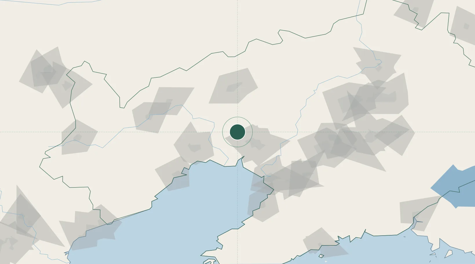
Nearby Logistics Neighbours

Cities
  1. 1Beizhen10 km
  2. 2Heishan46 km
  3. 3Dawa48 km
  4. 4Panjin76 km
  5. 5Jinzhou Pt80 km
Nearest neighbours — logibook spatial index (haversine) over the source coordinates
Ports
  1. 1Yingkou84 km
  2. 2Jinzhou Wan87 km
  3. 3Huludao Gang98 km
  4. 4Bayuquan120 km
  5. 5Qinhuangdao240 km
Nearest neighbours — logibook spatial index (haversine) over the source coordinates
Airports
  1. 1Jinzhou Bay Airport62 km
  2. 2Fuxin Air Base82 km
  3. 3Anshan Teng'ao Airport / Anshan Air Base95 km
  4. 4Yingkou Lanqi Airport103 km
  5. 5Chaoyang Airport113 km
Nearest neighbours — logibook spatial index (haversine) over the source coordinates
DatabookThe Record of Consolidated Knowledge
China beyond logistics?
Browse databook

All Sources

LocationsUN/LOCODE
UN/LOCODE — free
Portsthe NGA World Port Index
Public domain (US gov)
AirportsOurAirports
Public domain
Trade Zonesthe World Bank SEZ database
CC BY 4.0
Trade ZonesOpen Zone Map
CC BY
← China locations