Seaport · China
Jinzhou WanCNJNZ
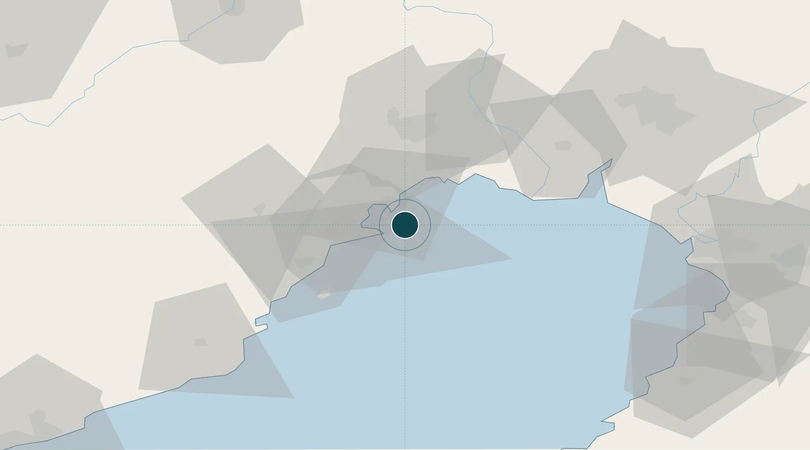
40.7500°, 121.1000°
12.5 m
Channel depth
2
Container terminals
40.8
Port liner connectivity
Channel & Berth Profile
Pilotage, Tugs & Services
Pilotage compulsoryYES
Pilotage availableYES
Tug assistanceYES
Potable waterYES
Diesel bunkersYES
Facilities & Capabilities
Container—
Ro-Ro—
Liquid bulk—
Dry bulk—
Oil terminal—
Break bulk—
Dry dock—
RepairsNO
Bunkering—
Rail link—
Dangerous cargo—
ISPS security—
Harbour Specifications
Harbour size
Very Small
Harbour type
Open Roadstead
Shelter
Fair
Water body
Bo Hai; Yellow Sea; North Pacific Ocean
Tidal range
2 m
Pilotage
Yes
Liner Connectivity
40.8
PLSCI
Port Liner Shipping Connectivity Index for Jinzhou Wan, as published by UNCTAD for the latest available quarter. Higher values indicate stronger scheduled liner-shipping integration.
Shown relative to the highest per-port PLSCI in the dataset (1,657.9).
Location
Container Terminals · 2
JINZHOU NEW AGE CONTAINER TERMINAL
JNACT JINZHOU NEW AGE CONTAINER TERMINAL CO., LTD. / COSCO SHIPPING
JINZHOU PORT CONTAINER TERMINAL
JPCT JINZHOU PORT CO., LTD.
Nearby Logistics Neighbours
Ports
- 1Huludao Gang11 km
- 2Yingkou96 km
- 3Bayuquan97 km
- 4Qinhuangdao155 km
- 5Dalian210 km
Airports
- 1Jinzhou Bay Airport26 km
- 2Xingcheng Air Base39 km
- 3Huangdicun Naval Air Base46 km
- 4Suizhong Air Base80 km
- 5Chaoyang Airport104 km
DatabookThe Record of Consolidated Knowledge
China beyond logistics?