Export Processing Zone · China
Jinzhou Qilihe Economic Development Zone Active
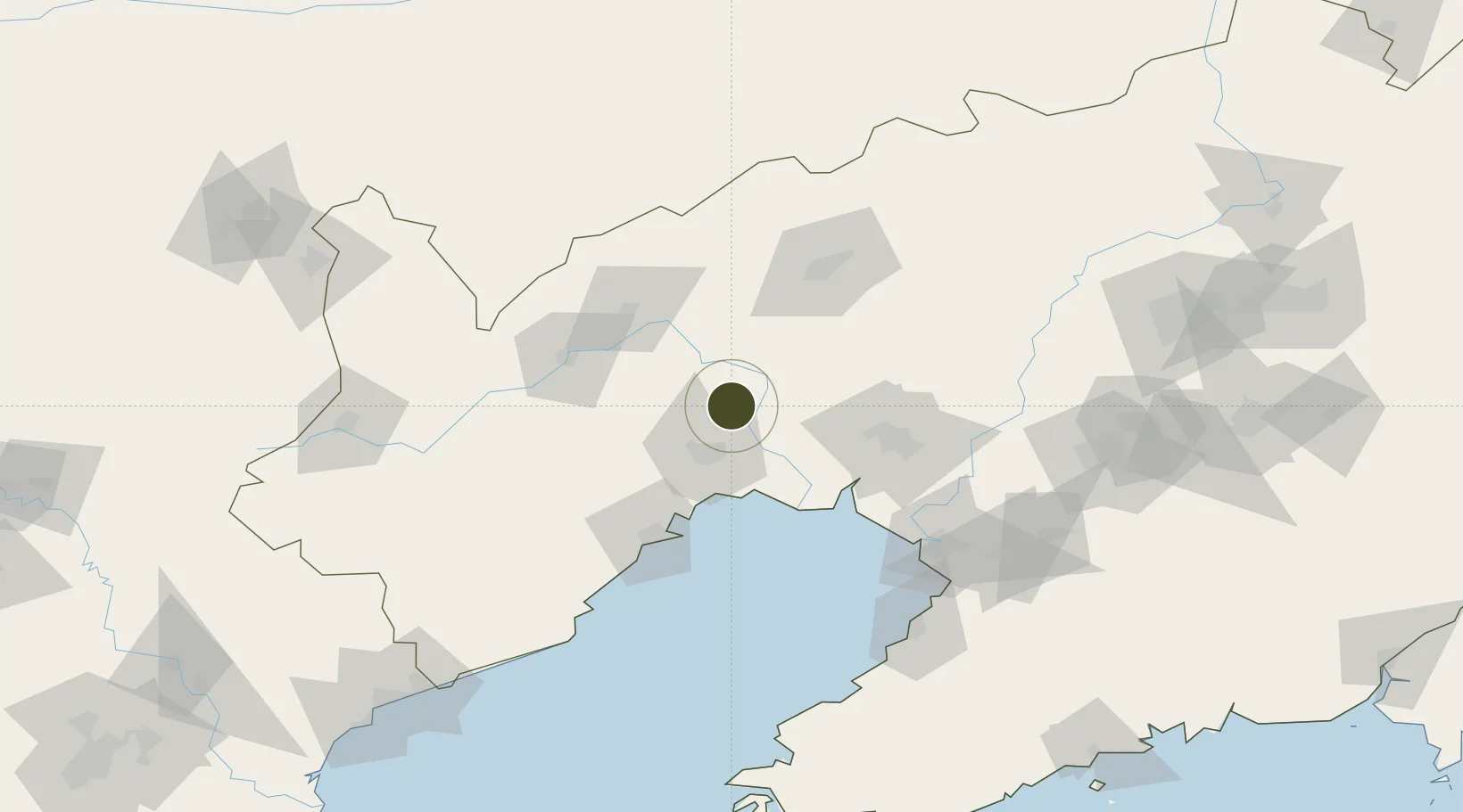
41.3406°, 121.2519°
369 ha
Zone area
66.9 km
Nearest port
45.0 km
Nearest airport
Gateway access
Zone profile
Zone type
Export Processing Zone
Region
Liaoning
Status
Active
Management
Public
Operator
Working Committee of Jinzhou Qilihe Economic Development Zone
Legal framework
Master Plan of Jinzhou City (2018-2035)
Location
Nearby Logistics Neighbours
Ports
- 1Jinzhou Wan67 km
- 2Huludao Gang75 km
- 3Yingkou110 km
- 4Bayuquan135 km
- 5Qinhuangdao209 km
Airports
- 1Jinzhou Bay Airport45 km
- 2Chaoyang Airport72 km
- 3Fuxin Air Base89 km
- 4Xingcheng Air Base96 km
- 5Huangdicun Naval Air Base106 km
Cities
- 1Beizhen40 km
- 2Goubangzi43 km
- 3Jinzhou Pt55 km
- 4Jinxi75 km
- 5Dawa79 km
DatabookThe Record of Consolidated Knowledge
China beyond logistics?