Diversified Zone · China
Chaoyang Liucheng Economic Development Zone Active
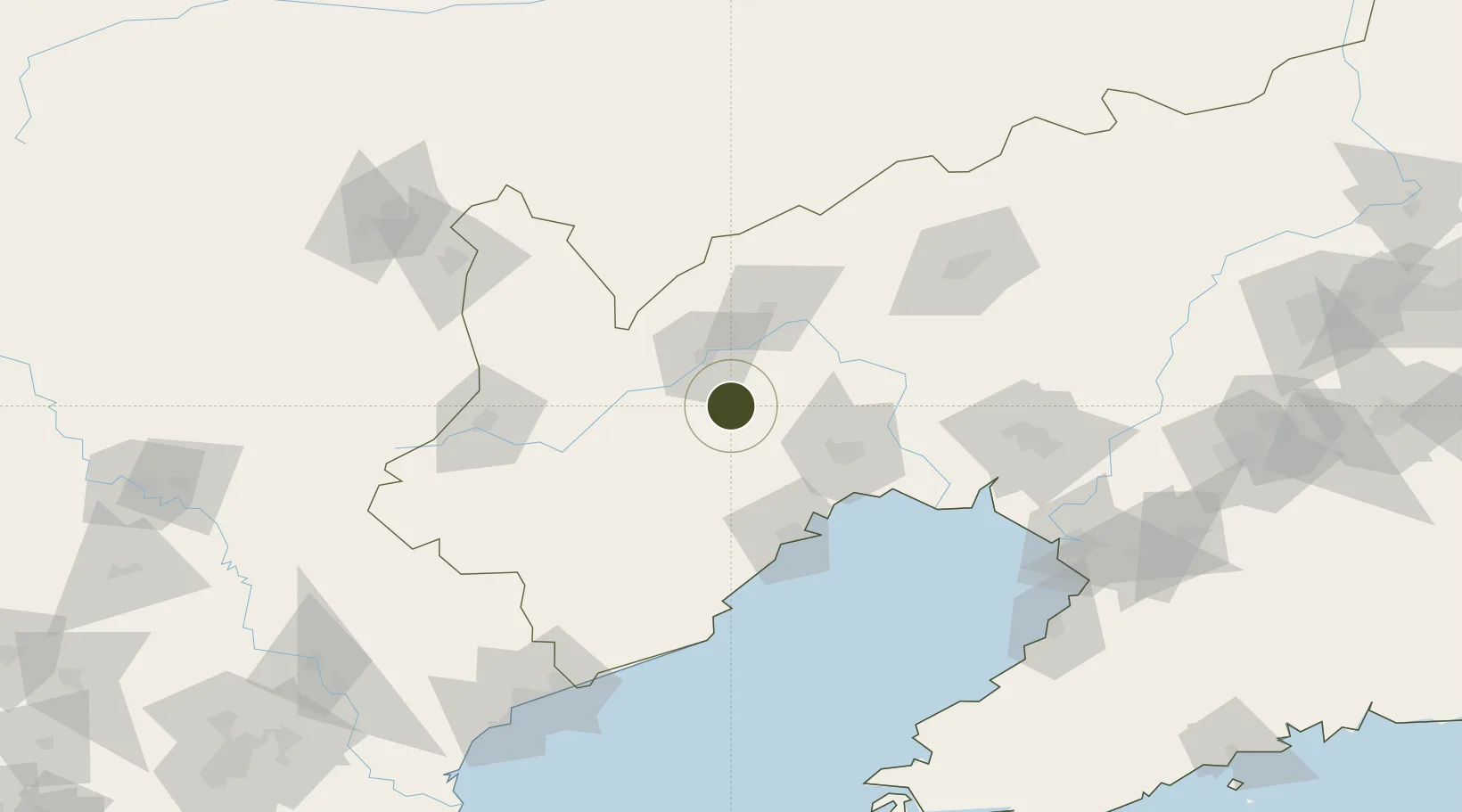
41.3363°, 120.5872°
209 ha
Zone area
78.1 km
Nearest port
25.8 km
Nearest airport
Gateway access
Zone profile
Zone type
Diversified Zone
Region
Liaoning
Status
Active
Management
Public
Operator
Chaoyang Liucheng Economic Development Zone Management Committee
Legal framework
At the beginning of 2015, according to the construction requirements of "five projects"
by the Municipal Party Committee and the municipal government, Relying on the
original color metal industrial Park (2010) and 20 jiazi towns, Chaoyang
County economic
Location
Nearby Logistics Neighbours
Ports
- 1Jinzhou Wan78 km
- 2Huludao Gang78 km
- 3Yingkou156 km
- 4Bayuquan171 km
- 5Qinhuangdao176 km
Airports
- 1Chaoyang Airport26 km
- 2Jinzhou Bay Airport73 km
- 3Xingcheng Air Base85 km
- 4Huangdicun Naval Air Base93 km
- 5Suizhong Air Base117 km
Cities
- 1Jinzhou Pt64 km
- 2Jinxi68 km
- 3Beizhen95 km
- 4Goubangzi99 km
- 5Dawa130 km
DatabookThe Record of Consolidated Knowledge
China beyond logistics?