Channel & Berth Profile
Pilotage, Tugs & Services
Pilotage compulsoryYES
Pilotage availableYES
Tug assistanceYES
Facilities & Capabilities
Container—
Ro-Ro—
Liquid bulk—
Dry bulk—
Oil terminal—
Break bulk—
Dry dock—
Repairs—
Bunkering—
Rail linkYES
Dangerous cargo—
ISPS security—
Harbour Specifications
Harbour size
Very Small
Harbour type
Open Roadstead
Shelter
Fair
Water body
Bo Hai; Yellow Sea; North Pacific Ocean
Tidal range
8 m
Pilotage
Yes
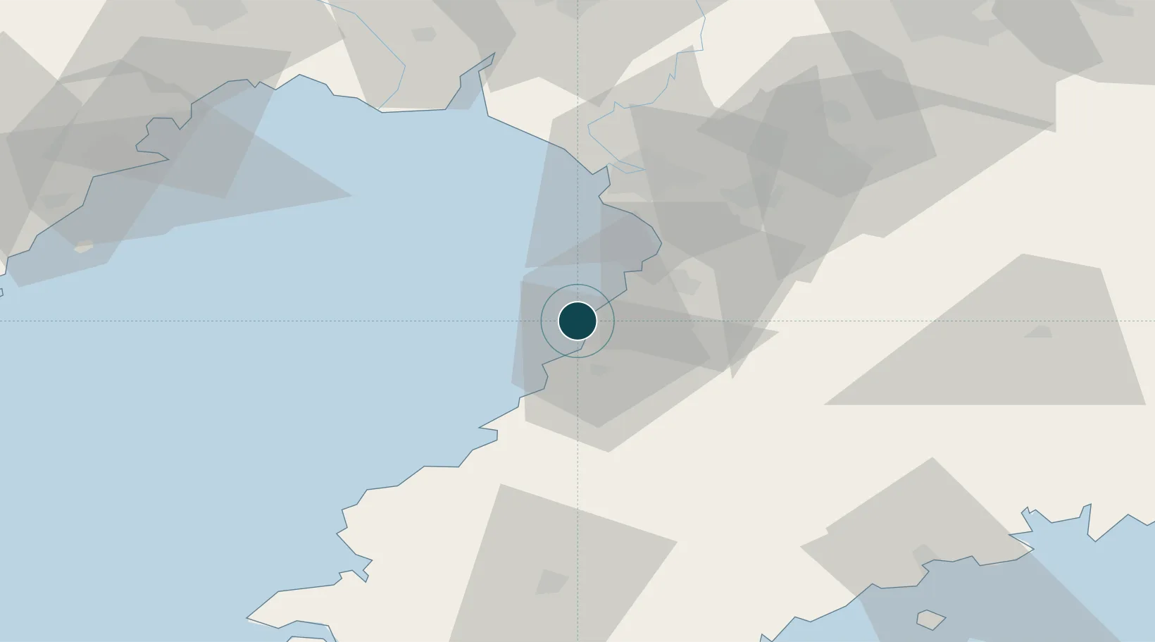
Location
Nearby Logistics Neighbours
Ports
- 1Yingkou45 km
- 2Jinzhou Wan97 km
- 3Huludao Gang103 km
- 4Dalian158 km
- 5Lushun183 km
Cities
- 1Yinkou4 km
- 2Yangshufang31 km
- 3Panjin44 km
- 4Songshu54 km
- 5Dawa76 km
Airports
- 1Yingkou Lanqi Airport36 km
- 2Laohutun Air Base75 km
- 3Pulandian Air Base95 km
- 4Jinzhou Bay Airport98 km
- 5Anshan Teng'ao Airport / Anshan Air Base111 km
DatabookThe Record of Consolidated Knowledge
China beyond logistics?