Diversified Zone · China
Huludao High-tech Industrial Development Zone Active
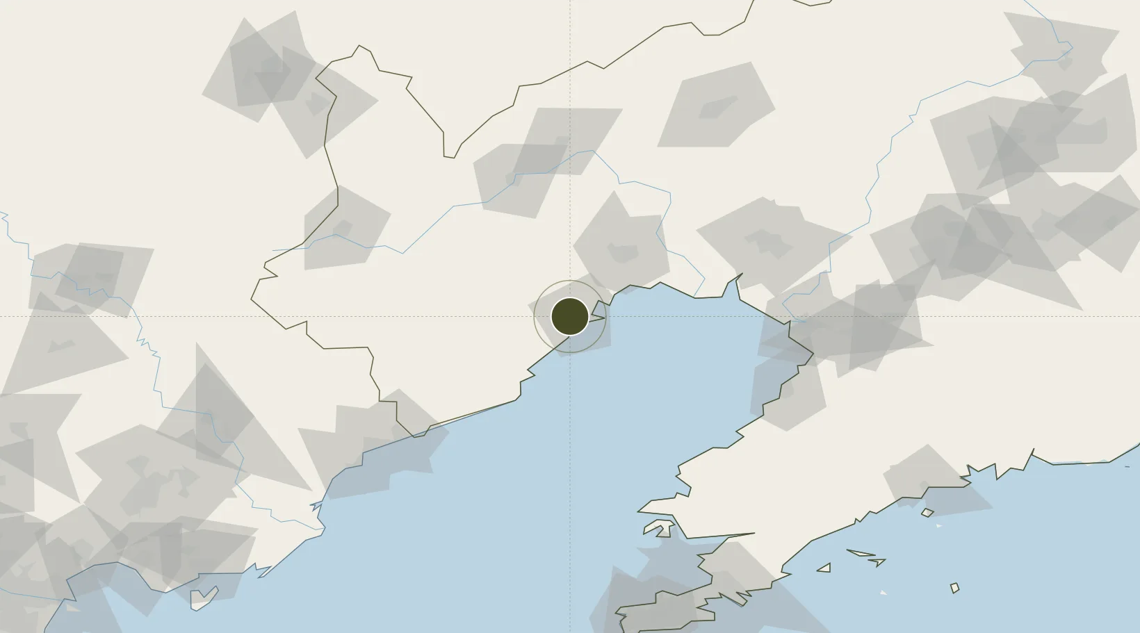
40.7290°, 120.8071°
934 ha
Zone area
15.2 km
Nearest port
18.8 km
Nearest airport
Gateway access
Zone profile
Zone type
Diversified Zone
Region
Liaoning
Status
Active
Management
Public
Operator
Huludao High-tech Industrial Development Zone Management Committee
Legal framework
It was founded in January 2003
Location
Nearby Logistics Neighbours
Ports
- 1Huludao Gang15 km
- 2Jinzhou Wan25 km
- 3Bayuquan118 km
- 4Yingkou120 km
- 5Qinhuangdao134 km
Airports
- 1Xingcheng Air Base19 km
- 2Huangdicun Naval Air Base28 km
- 3Jinzhou Bay Airport46 km
- 4Suizhong Air Base61 km
- 5Chaoyang Airport95 km
Cities
- 1Jinxi3 km
- 2Jinzhou Pt26 km
- 3Panjin101 km
- 4Goubangzi106 km
- 5Beizhen109 km
DatabookThe Record of Consolidated Knowledge
China beyond logistics?