Seaport · China

QinhuangdaoCNSHP

39.9333°, 119.6167°
12.5 m
Channel depth
14.4
Port liner connectivity
Qinhuangdao is also a UN/LOCODE logistics hub →

Channel & Berth Profile

SEA LEVEL (CD)CHANNEL BEDOil terminal · 11.0 mChannel · 12.5 mAnchorage · 14.0 mCargo pier · 15.5 m
NGA World Port Index

Pilotage, Tugs & Services

Pilotage compulsoryYES
Pilotage advisableYES
Tug assistanceYES
Shore powerYES
Potable waterYES
Diesel bunkersYES
MedicalYES
NGA World Port Index

Facilities & Capabilities

Container
Ro-Ro
Liquid bulk
Dry bulk
Oil terminal
Break bulk
Dry dockNO
RepairsNO
BunkeringYES
Rail linkYES
Dangerous cargo
ISPS security
NGA World Port Index

Harbour Specifications

Harbour size
Medium
NGA World Port Index
Harbour type
Coastal (Breakwater)
NGA World Port Index
Shelter
Fair
NGA World Port Index
Water body
Bo Hai; Yellow Sea; North Pacific Ocean
NGA World Port Index
Tidal range
1 m
NGA World Port Index
Overhead limit
Yes
NGA World Port Index
Pilotage
Yes
NGA World Port Index

Liner Connectivity

14.4
PLSCI

Port Liner Shipping Connectivity Index for Qinhuangdao, as published by UNCTAD for the latest available quarter. Higher values indicate stronger scheduled liner-shipping integration.

Shown relative to the highest per-port PLSCI in the dataset (1,657.9).
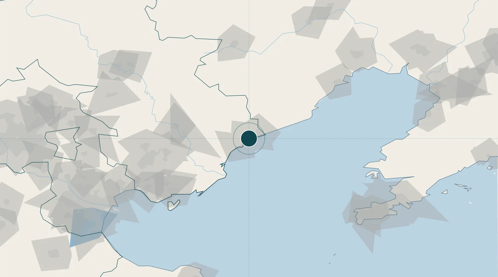
UNCTAD · Port Liner Shipping Connectivity Index

Location

Location of CNSHP
Natural Earth 10m (public domain) · Hebei · CNSHP · 39.93, 119.62GoogleOSMYandex

Nearby Logistics Neighbours

Ports
  1. 1Tangshan (Jingtang)96 km
  2. 2Huludao Gang144 km
  3. 3Jinzhou Wan155 km
  4. 4Tianjin Xin Gang187 km
  5. 5Lushun190 km
Nearest neighbours — logibook spatial index (haversine) over the source coordinates
Cities
  1. 1Tangshan Pt127 km
  2. 2Jinxi137 km
  3. 3Caofeidian Pt144 km
  4. 4Jinzhou Pt160 km
  5. 5Chengde183 km
Nearest neighbours — logibook spatial index (haversine) over the source coordinates
Airports
  1. 1Qinhuangdao Beidaihe Airport56 km
  2. 2Suizhong Air Base75 km
  3. 3Huangdicun Naval Air Base109 km
  4. 4Xingcheng Air Base117 km
  5. 5Pingquan Air Base134 km
Nearest neighbours — logibook spatial index (haversine) over the source coordinates
Trade Zones
  1. 1Changli Economic Development Zone48 km
  2. 2Qianan High-tech Industrial Development Zone74 km
  3. 3Luan County Economic Development Zone81 km
  4. 4Qianan Economic Development Zone87 km
  5. 5Tangshan Seaport Economic Development Zone93 km
Nearest neighbours — logibook spatial index (haversine) over the source coordinates
DatabookThe Record of Consolidated Knowledge
China beyond logistics?
Browse databook

All Sources

Portsthe NGA World Port Index
Public domain (US gov)
Logistics performanceUNCTAD
CC BY 3.0 IGO
AirportsOurAirports
Public domain
LocationsUN/LOCODE
UN/LOCODE — free
Trade Zonesthe World Bank SEZ database
CC BY 4.0
Trade ZonesOpen Zone Map
CC BY
← China ports