Channel & Berth Profile
Pilotage, Tugs & Services
Pilotage compulsoryYES
Pilotage availableYES
Pilotage advisableYES
Potable waterYES
MedicalYES
Facilities & Capabilities
Container—
Ro-Ro—
Liquid bulk—
Dry bulk—
Oil terminal—
Break bulk—
Dry dockNO
RepairsNO
BunkeringYES
Rail linkYES
Dangerous cargo—
ISPS security—
Harbour Specifications
Harbour size
Very Small
Harbour type
Coastal (Breakwater)
Shelter
Good
Water body
Bo Hai; Yellow Sea; North Pacific Ocean
Pilotage
Yes
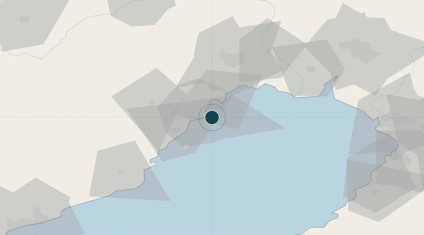
Location
Nearby Logistics Neighbours
Ports
- 1Jinzhou Wan11 km
- 2Bayuquan103 km
- 3Yingkou105 km
- 4Qinhuangdao144 km
- 5Dalian207 km
Cities
- 1Jinxi14 km
- 2Jinzhou Pt20 km
- 3Panjin86 km
- 4Dawa96 km
- 5Goubangzi98 km
Airports
- 1Xingcheng Air Base27 km
- 2Huangdicun Naval Air Base35 km
- 3Jinzhou Bay Airport36 km
- 4Suizhong Air Base69 km
- 5Chaoyang Airport104 km
DatabookThe Record of Consolidated Knowledge
China beyond logistics?