Free Trade Zone · China
Huludao Yangjiazhangzi Economic Development Zone Active
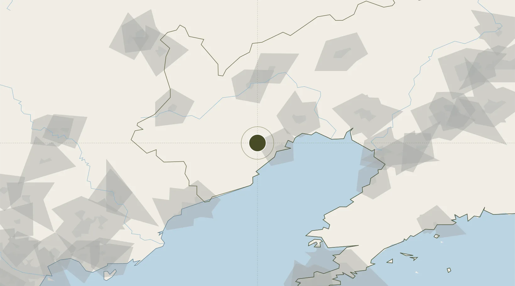
40.7907°, 120.5667°
967 ha
Zone area
36.5 km
Nearest port
26.0 km
Nearest airport
Gateway access
Zone profile
Zone type
Free Trade Zone
Region
Liaoning
Status
Active
Management
Public
Operator
Working Committee of Huludao Yangjiazhangzi Economic Development Zone
Legal framework
Reply to the Proposal for Infrastructure Construction Supporting Project of New Building Materials Industrial Park of Huludao Yangjiazhangzi Economic Development Zone
Location
Nearby Logistics Neighbours
Ports
- 1Huludao Gang37 km
- 2Jinzhou Wan45 km
- 3Qinhuangdao125 km
- 4Bayuquan139 km
- 5Yingkou141 km
Airports
- 1Xingcheng Air Base26 km
- 2Huangdicun Naval Air Base33 km
- 3Suizhong Air Base57 km
- 4Jinzhou Bay Airport62 km
- 5Chaoyang Airport84 km
Cities
- 1Jinxi23 km
- 2Jinzhou Pt41 km
- 3Goubangzi118 km
- 4Beizhen120 km
- 5Panjin121 km
DatabookThe Record of Consolidated Knowledge
China beyond logistics?