Runway & Layout

Airport Specifications
Airport class
Medium airport
Scheduled service
No
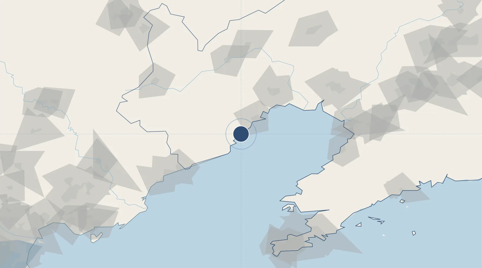
Served city
Huludao
Location
Nearby Logistics Neighbours
Airports
- 1Xingcheng Air Base10 km
- 2Suizhong Air Base34 km
- 3Jinzhou Bay Airport71 km
- 4Chaoyang Airport117 km
- 5Laohutun Air Base132 km
Cities
- 1Jinxi32 km
- 2Jinzhou Pt53 km
- 3Qinhuangdao Pt106 km
- 4Panjin115 km
- 5Yinkou126 km
Ports
- 1Huludao Gang35 km
- 2Jinzhou Wan46 km
- 3Qinhuangdao109 km
- 4Bayuquan123 km
- 5Yingkou135 km
DatabookThe Record of Consolidated Knowledge
China beyond logistics?