Runway & Layout

Airport Specifications
IATA code
XEN
ICAO code
ZYXC
Airport class
Medium airport
Scheduled service
No
Served city
Huludao (Xingcheng)
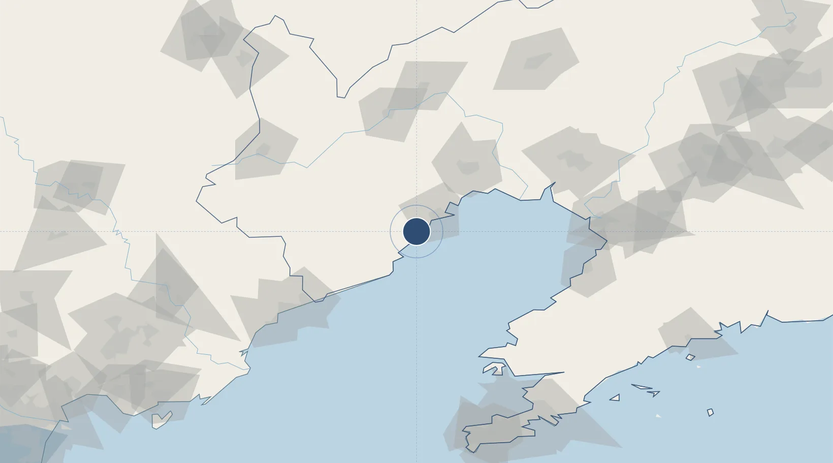
Location
Nearby Logistics Neighbours
Airports
- 1Huangdicun Naval Air Base10 km
- 2Suizhong Air Base42 km
- 3Jinzhou Bay Airport63 km
- 4Chaoyang Airport109 km
- 5Laohutun Air Base136 km
Cities
- 1Jinxi22 km
- 2Jinzhou Pt44 km
- 3Panjin110 km
- 4Qinhuangdao Pt114 km
- 5Dawa124 km
Ports
- 1Huludao Gang27 km
- 2Jinzhou Wan39 km
- 3Qinhuangdao117 km
- 4Bayuquan121 km
- 5Yingkou130 km
DatabookThe Record of Consolidated Knowledge
China beyond logistics?