Seaport · China
YingkouCNYIK
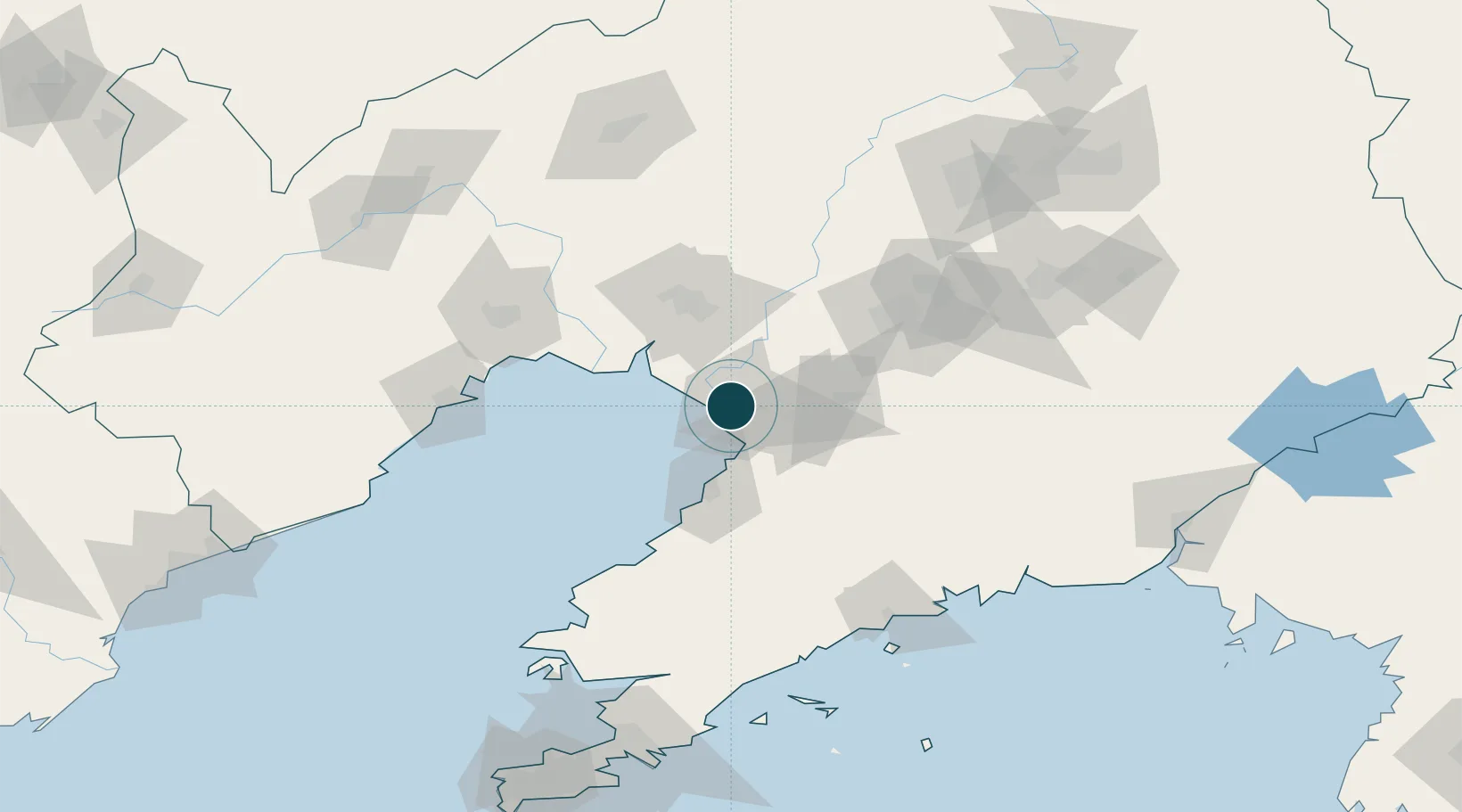
40.6833°, 122.2333°
4.9 m
Channel depth
1
Container terminals
98.4
Port liner connectivity
Channel & Berth Profile
Pilotage, Tugs & Services
Pilotage compulsoryYES
Pilotage availableYES
Tug assistanceYES
Potable waterYES
Diesel bunkersYES
MedicalYES
Facilities & Capabilities
Container—
Ro-Ro—
Liquid bulk—
Dry bulk—
Oil terminal—
Break bulk—
Dry dock—
RepairsNO
BunkeringYES
Rail linkYES
Dangerous cargo—
ISPS security—
Harbour Specifications
Harbour size
Small
Harbour type
Coastal (Breakwater)
Shelter
Fair
Water body
Bo Hai; Yellow Sea; North Pacific Ocean
Tidal range
2 m
Pilotage
Yes
Liner Connectivity
98.4
PLSCI
Port Liner Shipping Connectivity Index for Yingkou, as published by UNCTAD for the latest available quarter. Higher values indicate stronger scheduled liner-shipping integration.
Shown relative to the highest per-port PLSCI in the dataset (1,657.9).
Location
Container Terminals · 1
YINGKOU BAYUQUAN CONTAINER TERMINAL
BQCT LIAONING PORT GROUP
Nearby Logistics Neighbours
Ports
- 1Bayuquan45 km
- 2Jinzhou Wan96 km
- 3Huludao Gang105 km
- 4Dandong189 km
- 5Dalian202 km
Cities
- 1Panjin20 km
- 2Dawa36 km
- 3Yangshufang53 km
- 4Anshan81 km
- 5Goubangzi84 km
Airports
- 1Yingkou Lanqi Airport19 km
- 2Anshan Teng'ao Airport / Anshan Air Base70 km
- 3Jinzhou Bay Airport85 km
- 4Laohutun Air Base120 km
- 5Xingcheng Air Base130 km
DatabookThe Record of Consolidated Knowledge
China beyond logistics?