Export Processing Zone · China
Jinzhou Economic Development Zone Active
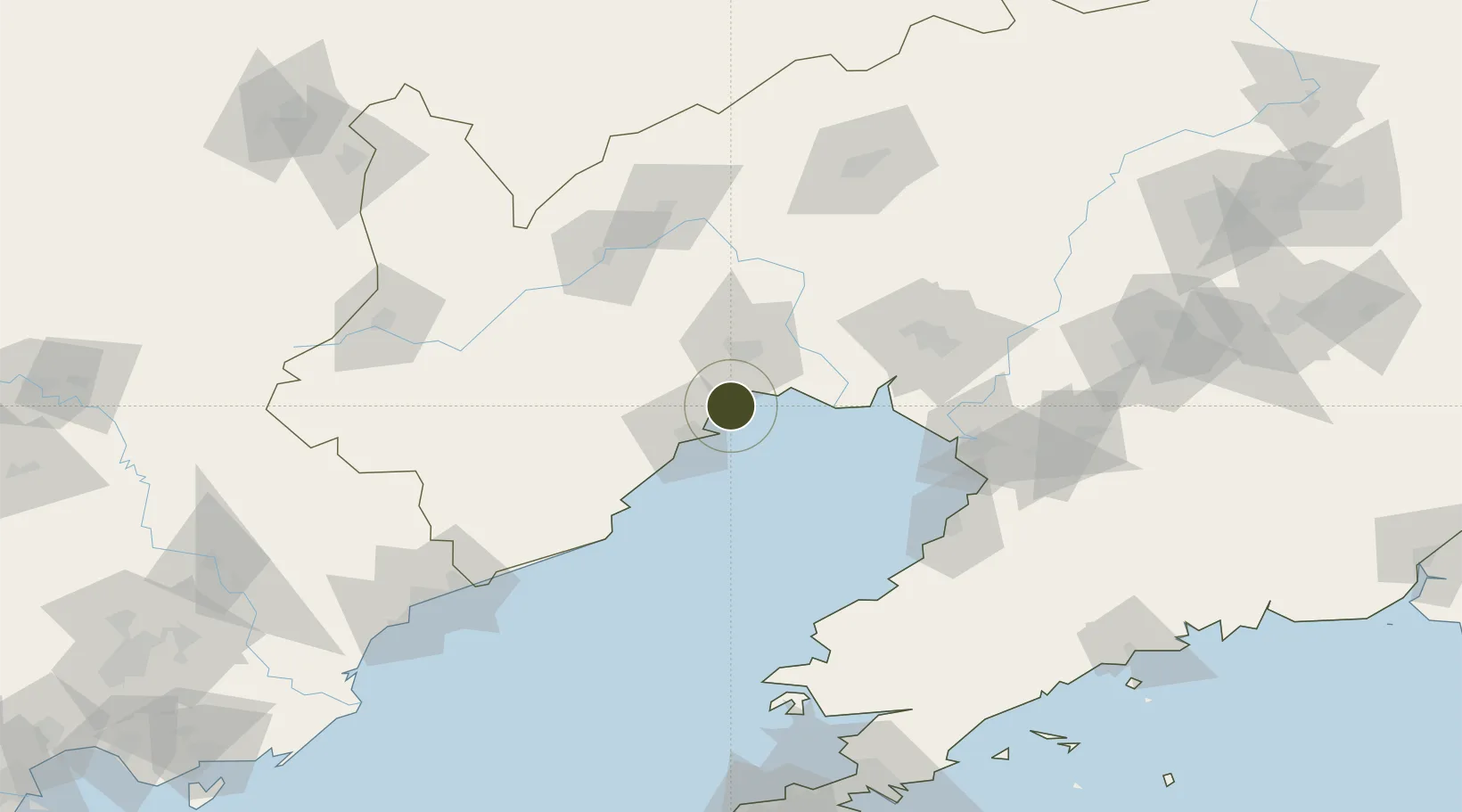
40.8514°, 121.0736°
160 ha
Zone area
11.5 km
Nearest port
19.5 km
Nearest airport
Gateway access
Zone profile
Zone type
Export Processing Zone
Region
Liaoning
Status
Active
Management
Public
Operator
Working Committee of Jinzhou Economic Development Zone
Legal framework
Overall Plan of Jinzhou Binhai New Area (Jinzhou Economic and Technological Development Zone) (2015-2030)
Location
Nearby Logistics Neighbours
Ports
- 1Jinzhou Wan12 km
- 2Huludao Gang19 km
- 3Yingkou99 km
- 4Bayuquan105 km
- 5Qinhuangdao160 km
Airports
- 1Jinzhou Bay Airport20 km
- 2Xingcheng Air Base44 km
- 3Huangdicun Naval Air Base52 km
- 4Suizhong Air Base86 km
- 5Chaoyang Airport93 km
Cities
- 1Jinzhou Pt3 km
- 2Jinxi23 km
- 3Panjin80 km
- 4Goubangzi80 km
- 5Beizhen84 km
DatabookThe Record of Consolidated Knowledge
China beyond logistics?