Diversified Zone · Vietnam

Thanh Ha Industrial Zone Active
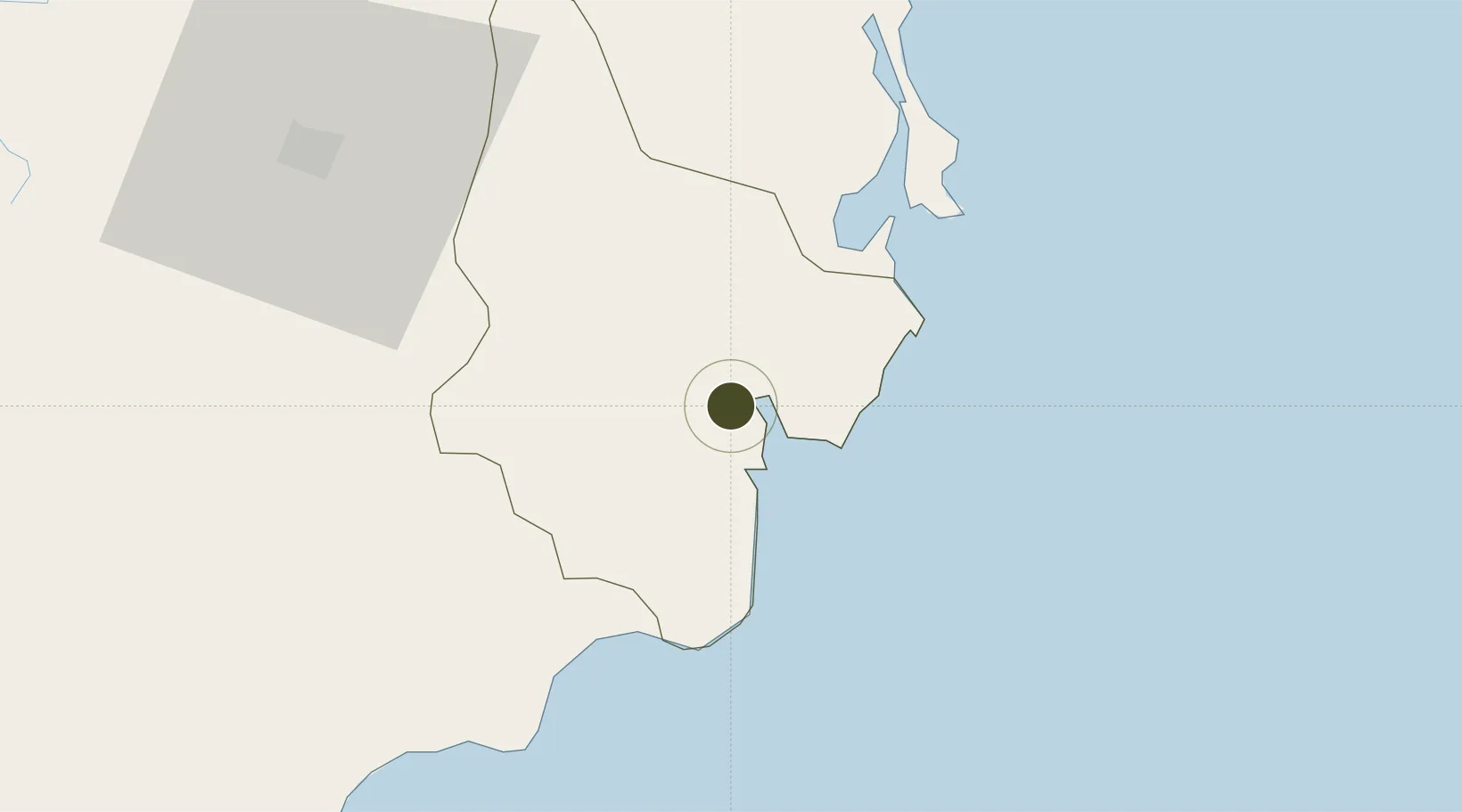
11.6244°, 108.9939°
400 ha
Zone area
34.4 km
Nearest port
48.2 km
Nearest airport

Gateway access

Nearest neighbours — logibook spatial index (haversine) over the source coordinates

Zone profile

Zone type
Diversified Zone
Open Zone Map
Region
Ninh Thuận
Open Zone Map
Status
Active
Open Zone Map
Management
Public
Open Zone Map
Operator
Hai Duong Industrial Park Management Board
Open Zone Map
Legal framework
Decree No.82/2018/ND-CP on Management of Industrial Parks and Economic Zones, Decree No 218/2013/ND-CP
Open Zone Map

Location

Location of ozm-5106
Natural Earth 10m (public domain) · Ninh Thuận · ozm-5106 · 11.62, 108.99GoogleOSMYandex

Nearby Logistics Neighbours

Ports
  1. 1Vinh Cam Ranh34 km
  2. 2Nha Trang74 km
  3. 3Qui Nhon240 km
  4. 4Phu My243 km
  5. 5Vung Tau256 km
Nearest neighbours — logibook spatial index (haversine) over the source coordinates
Airports
  1. 1Cam Ranh International Airport / Cam Ranh Air Base48 km
  2. 2Lien Khuong Airport70 km
  3. 3Buon Ma Thuot Airport150 km
  4. 4Dong Tac Airport163 km
  5. 5Long Thanh International Airport (Under Construction)233 km
Nearest neighbours — logibook spatial index (haversine) over the source coordinates
Cities
  1. 1Hiep Thanh26 km
  2. 2Cam Lâm35 km
  3. 3Ba Ngoi35 km
  4. 4Ninh Hòa97 km
  5. 5Trung Hoa112 km
Nearest neighbours — logibook spatial index (haversine) over the source coordinates
Trade Zones
  1. 1Du Long Industrial Zone7 km
  2. 2Tuy Phong Industrial Zone47 km
  3. 3Suoi Dau Industrial Zone59 km
  4. 4Phu Hoi Industrial Zone68 km
  5. 5Bắc Vân Phong Special Economic Zone98 km
Nearest neighbours — logibook spatial index (haversine) over the source coordinates
DatabookThe Record of Consolidated Knowledge
Vietnam beyond logistics?
Browse databook

All Sources

Trade ZonesOpen Zone Map
CC BY
Portsthe NGA World Port Index
Public domain (US gov)
AirportsOurAirports
Public domain
LocationsUN/LOCODE
UN/LOCODE — free
← Vietnam trade zones