UN/LOCODE hub · Vietnam
VNHTH

Hiep Thanh

11.8333°, 109.1000°
1
Transport functions

Transport Functions

Multimodal
UN/LOCODE

Hub Profile

Place type
Populated place
GeoNames
Region
Khanh Hoa
GeoNames
Time zone
Asia/Ho_Chi_Minh
GeoNames
Elevation
17 m
GeoNames

Location

Location of VNHTH
Natural Earth 10m (public domain) · Khanh Hoa · VNHTH · 11.83, 109.10GoogleOSMYandex

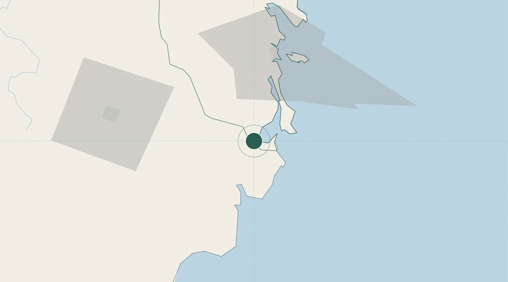
Nearby Logistics Neighbours

Cities
  1. 1Cam Lâm9 km
  2. 2Ba Ngoi9 km
  3. 3Ninh Hòa72 km
  4. 4Trung Hoa87 km
  5. 5Dam Mon98 km
Nearest neighbours — logibook spatial index (haversine) over the source coordinates
Ports
  1. 1Vinh Cam Ranh9 km
  2. 2Nha Trang49 km
  3. 3Qui Nhon216 km
  4. 4Phu My265 km
  5. 5Thanh Hoa278 km
Nearest neighbours — logibook spatial index (haversine) over the source coordinates
Airports
  1. 1Cam Ranh International Airport / Cam Ranh Air Base22 km
  2. 2Lien Khuong Airport80 km
  3. 3Dong Tac Airport138 km
  4. 4Buon Ma Thuot Airport141 km
  5. 5Phu Cat Airport236 km
Nearest neighbours — logibook spatial index (haversine) over the source coordinates
Trade Zones
  1. 1Du Long Industrial Zone20 km
  2. 2Thanh Ha Industrial Zone26 km
  3. 3Suoi Dau Industrial Zone36 km
  4. 4Tuy Phong Industrial Zone72 km
  5. 5Bắc Vân Phong Special Economic Zone73 km
Nearest neighbours — logibook spatial index (haversine) over the source coordinates
DatabookThe Record of Consolidated Knowledge
Vietnam beyond logistics?
Browse databook

All Sources

LocationsUN/LOCODE
UN/LOCODE — free
Portsthe NGA World Port Index
Public domain (US gov)
AirportsOurAirports
Public domain
Trade Zonesthe World Bank SEZ database
CC BY 4.0
Trade ZonesOpen Zone Map
CC BY
← Vietnam locations