Large airport · Vietnam

Cam Ranh International Airport / Cam Ranh Air BaseVVCR
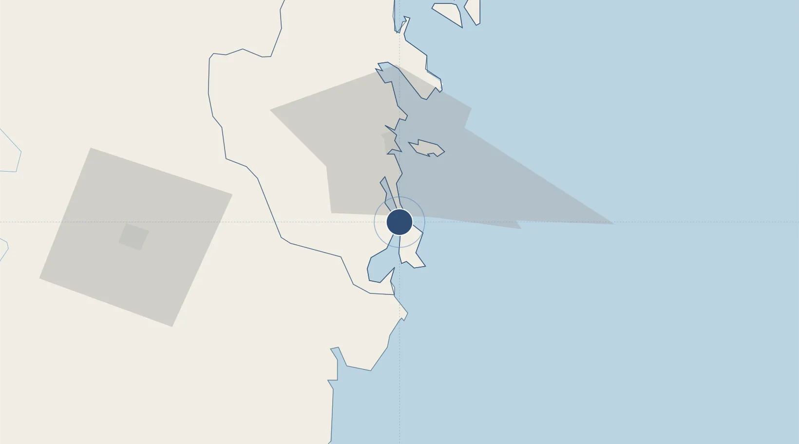
11.9982°, 109.2190°
10,000 ft
Longest runway
2
Runways
40 ft
Elevation

Runway & Layout

Cam Ranh International Airport / Cam Ranh Air Base runway & taxiway layout
Runway & taxiway layout — OpenStreetMap (ODbL) / OurAirports

Navaids

CR NDB Cam Ranh 414 kHz
CRA VOR-DME Cam Ranh 116.50 MHz
OurAirports

Runways · 2

RunwayDimensions SurfaceTrue headingLit
02L/20R 10,000 × 148ft Concrete 019°
02R/20L 10,000 × 150ft Concrete
OurAirports

Airport Specifications

IATA code
CXR
OurAirports
ICAO code
VVCR
OurAirports
Airport class
Large airport
OurAirports
Scheduled service
Yes
OurAirports
Runway surface
Concrete
OurAirports
Served city
Nha Trang/nha Trang aiurportCam Ranh
OurAirports

Location

Location of VVCR
Natural Earth 10m (public domain) · Khánh Hòa · VVCR · 12.00, 109.22GoogleOSMYandex

Nearby Logistics Neighbours

Airports
  1. 1Lien Khuong Airport97 km
  2. 2Dong Tac Airport118 km
  3. 3Buon Ma Thuot Airport141 km
  4. 4Phu Cat Airport218 km
  5. 5Pleiku Airport258 km
Nearest neighbours — logibook spatial index (haversine) over the source coordinates
Cities
  1. 1Cam Lâm13 km
  2. 2Ba Ngoi13 km
  3. 3Hiep Thanh22 km
  4. 4Ninh Hòa55 km
  5. 5Trung Hoa69 km
Nearest neighbours — logibook spatial index (haversine) over the source coordinates
Ports
  1. 1Vinh Cam Ranh14 km
  2. 2Nha Trang28 km
  3. 3Qui Nhon197 km
  4. 4Phu My286 km
  5. 5Thanh Hoa298 km
Nearest neighbours — logibook spatial index (haversine) over the source coordinates
Trade Zones
  1. 1Suoi Dau Industrial Zone24 km
  2. 2Du Long Industrial Zone42 km
  3. 3Thanh Ha Industrial Zone48 km
  4. 4Bắc Vân Phong Special Economic Zone56 km
  5. 5Ninh Thuy Industrial Zone57 km
Nearest neighbours — logibook spatial index (haversine) over the source coordinates
DatabookThe Record of Consolidated Knowledge
Vietnam beyond logistics?
Browse databook

All Sources

AirportsOurAirports
Public domain
Portsthe NGA World Port Index
Public domain (US gov)
LocationsUN/LOCODE
UN/LOCODE — free
Trade Zonesthe World Bank SEZ database
CC BY 4.0
Trade ZonesOpen Zone Map
CC BY
InfrastructureOpenStreetMap
ODbL 1.0
← Vietnam airports