Seaport · Vietnam
Vung TauVNVUT
10.3167°, 107.0667°
7.9 m
Channel depth
6
Container terminals
579.0
Port liner connectivity
Channel & Berth Profile
Pilotage, Tugs & Services
Pilotage compulsoryYES
Pilotage availableYES
Tug assistanceYES
Shore powerYES
Potable waterYES
Diesel bunkersYES
MedicalYES
Garbage disposalYES
Facilities & Capabilities
Container—
Ro-Ro—
Liquid bulk—
Dry bulk—
Oil terminal—
Break bulk—
Dry dockNO
RepairsNO
BunkeringYES
Rail link—
Dangerous cargo—
ISPS security—
Harbour Specifications
Harbour size
Small
Harbour type
River (Natural)
Shelter
Fair
Water body
South China Sea; North Pacific Ocean
Tidal range
1 m
Overhead limit
Yes
Pilotage
Yes
Liner Connectivity
579
PLSCI
Port Liner Shipping Connectivity Index for Vung Tau, as published by UNCTAD for the latest available quarter. Higher values indicate stronger scheduled liner-shipping integration.
Shown relative to the highest per-port PLSCI in the dataset (1,657.9).
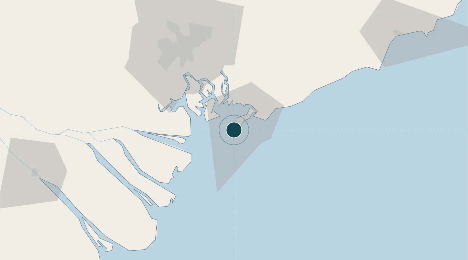
Location
Container Terminals · 6
CAI MEP INTERNATIONAL TERMINAL (CMIT)
CMIT CAI MEP INTERNATIONAL TERMINAL CO., LTD.
GEMALINK INTERNATIONAL PORT (GML)
GML
SAIGON INTERNATIONAL TERMINALS VIETNAM (SITV)
SITV HUTCHISON PORTS SITV
TAN CANG - CAI MEP INTERNATIONAL TERMINAL (TCIT)
TCIT TAN CANG - CAI MEP INTERNATIONAL TERMINAL CO., LTD.
TAN CANG - CAI MEP THI VAI TERMINAL (TCTT)
TCTT TAN CANG - CAI MEP THI VAI TERMINAL CO., LTD.
SP-SSA INTERNATIONAL TERMINAL (SSIT)
VNSST SSA MARINE
Nearby Logistics Neighbours
Ports
- 1Phu My30 km
- 2Cat Lai57 km
- 3Thanh Ho Chi Minh63 km
- 4Thanh Hoa65 km
- 5Vinh Cam Ranh288 km
Cities
- 1Dong Xuyen Port10 km
- 2Cai Mep International Terminal23 km
- 3Cai Mep24 km
- 4Saigon ITV/Phu My32 km
- 5Go Dau B Terminal34 km
Airports
Trade Zones
DatabookThe Record of Consolidated Knowledge
Vietnam beyond logistics?