Large airport · Vietnam

Long Thanh International Airport (Under Construction)VN-0018
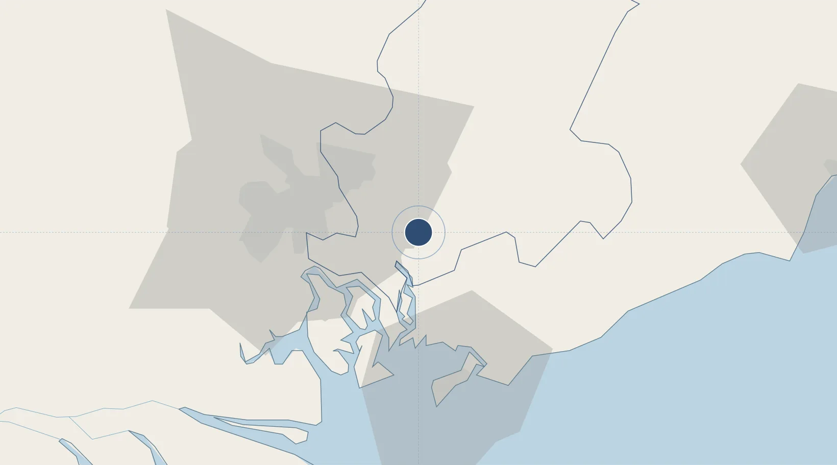
10.7728°, 107.0406°
249 ft
Elevation

Runway & Layout

Long Thanh International Airport (Under Construction) runway & taxiway layout
Runway & taxiway layout — OpenStreetMap (ODbL) / OurAirports

Airport Specifications

IATA code
LTH
OurAirports
ICAO code
VVLT
OurAirports
Airport class
Large airport
OurAirports
Scheduled service
No
OurAirports
Served city
Ho Chi Minh City (Long Thanh)
OurAirports

Location

Location of VN-0018
Natural Earth 10m (public domain) · Đông Nam Bộ · VN-0018 · 10.77, 107.04GoogleOSMYandex

Nearby Logistics Neighbours

Airports
  1. 1Tan Son Nhat International Airport43 km
  2. 2Can Tho International Airport165 km
  3. 3Lien Khuong Airport181 km
  4. 4Rach Gia Airport228 km
  5. 5Con Dao Airport231 km
Nearest neighbours — logibook spatial index (haversine) over the source coordinates
Cities
  1. 1Long Thanh10 km
  2. 2Go Dau A Terminal14 km
  3. 3Go Dau B Terminal18 km
  4. 4Saigon ITV/Phu My19 km
  5. 5Nhon Trach20 km
Nearest neighbours — logibook spatial index (haversine) over the source coordinates
Ports
  1. 1Phu My21 km
  2. 2Cat Lai28 km
  3. 3Thanh Hoa30 km
  4. 4Thanh Ho Chi Minh35 km
  5. 5Vung Tau51 km
Nearest neighbours — logibook spatial index (haversine) over the source coordinates
Trade Zones
  1. 1Nhon Trach Iii Industrial Park12 km
  2. 2Nhon Trach I Industrial Park13 km
  3. 3Go Dau Industrial Park13 km
  4. 4Nhon Trach Ii Industrial Park13 km
  5. 5Long Thanh Industrial Park14 km
Nearest neighbours — logibook spatial index (haversine) over the source coordinates
DatabookThe Record of Consolidated Knowledge
Vietnam beyond logistics?
Browse databook

All Sources

AirportsOurAirports
Public domain
Portsthe NGA World Port Index
Public domain (US gov)
LocationsUN/LOCODE
UN/LOCODE — free
Trade Zonesthe World Bank SEZ database
CC BY 4.0
Trade ZonesOpen Zone Map
CC BY
InfrastructureOpenStreetMap
ODbL 1.0
← Vietnam airports