Transport Functions
Port
Road
Hub Profile
Place type
Populated place
Region
Lao Cai
Time zone
Asia/Bangkok
Elevation
86 m
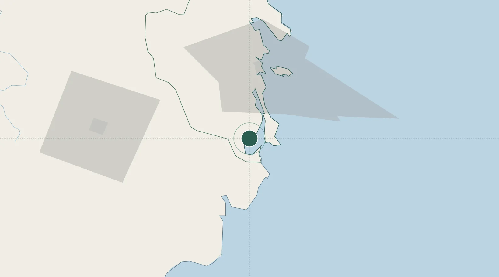
Location
Nearby Logistics Neighbours
Cities
- 1Cam Lâm0 km
- 2Hiep Thanh9 km
- 3Ninh Hòa65 km
- 4Trung Hoa80 km
- 5Dam Mon90 km
Airports
- 1Cam Ranh International Airport / Cam Ranh Air Base13 km
- 2Lien Khuong Airport87 km
- 3Dong Tac Airport129 km
- 4Buon Ma Thuot Airport141 km
- 5Phu Cat Airport229 km
Trade Zones
DatabookThe Record of Consolidated Knowledge
Vietnam beyond logistics?