Channel & Berth Profile
Pilotage, Tugs & Services
Pilotage compulsoryYES
Pilotage availableYES
Pilotage advisableYES
Tug assistanceYES
Potable waterYES
MedicalYES
Facilities & Capabilities
Container—
Ro-Ro—
Liquid bulk—
Dry bulk—
Oil terminal—
Break bulk—
Dry dock—
Repairs—
Bunkering—
Rail link—
Dangerous cargo—
ISPS security—
Harbour Specifications
Harbour size
Small
Harbour type
Coastal (Natural)
Shelter
Good
Water body
South China Sea; North Pacific Ocean
Tidal range
2 m
Pilotage
Yes
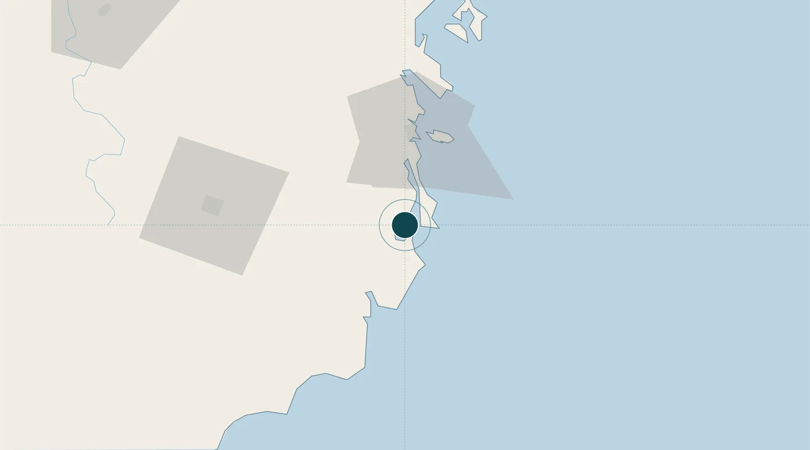
Location
Nearby Logistics Neighbours
Cities
- 1Cam Lâm3 km
- 2Hiep Thanh9 km
- 3Ninh Hòa67 km
- 4Trung Hoa82 km
- 5Dam Mon91 km
Airports
- 1Cam Ranh International Airport / Cam Ranh Air Base14 km
- 2Lien Khuong Airport88 km
- 3Dong Tac Airport131 km
- 4Buon Ma Thuot Airport143 km
- 5Phu Cat Airport231 km
Trade Zones
DatabookThe Record of Consolidated Knowledge
Vietnam beyond logistics?